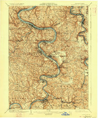
1906 Map of Brownsville
USGS Topo · Published 1927About this map
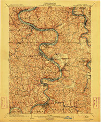
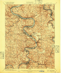
Monongahela River valley industry and transportation define this landscape at the turn of the century, where the river's winding course dictated the placement of bustling industrial hubs and coal towns. The map documents the dense development of Monongahela, Monessen, and Charleroi, connected by a complex network of rail lines including the Pittsburgh Brownsville and Lake Erie RR and the Baltimore and Ohio RR.
Find a feature on this map
116 named features on this map. Tap any name to fly to it.
Don’t see what you’re looking for? This feature index may not catch every label — zoom into the map to look around manually.
Map Details
Editions of this 1906 Brownsville Map
4 editions found

Other maps of this area

1900 · Uniontown
USGS Topo · 1:62,500

1900 · Masontown
USGS Topo · 1:62,500

1901 · Amity
USGS Topo · 1:62,500

1901 · Waynesburg
USGS Topo · 1:62,500

1902 · Brownsville
USGS Topo · 1:62,500

1902 · Connellsville
USGS Topo · 1:62,500

1903 · Masontown
USGS Topo · 1:62,500

1904 · Amity
USGS Topo · 1:62,500

1904 · Mc Keesport
USGS Topo · 1:62,500

1904 · Waynesburg
USGS Topo · 1:62,500