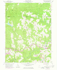
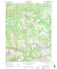
1960 Map of Bruceton Mills
USGS Topo · Published 1978About this map
The crossing of Big Sandy Creek at Bruceton Mills anchors this northern Preston County landscape as it appeared in the mid-20th century. The settlement patterns reflect a legacy of early industry and upland farming, prominently featuring the Old Valley Furnace and several scattered rural institutions such as the Mountain Grove Sch and Hopewell Ch. The rugged topography is defined by prominent ridges like Chestnut Ridge and Georges Ridge, with much of the land preserved within the Coopers Rock State Forest and Wharton State Forest Land.
Find a feature on this map
37 named features on this map. Tap any name to fly to it.
Don’t see what you’re looking for? This feature index may not catch every label — zoom into the map to look around manually.
Map Details
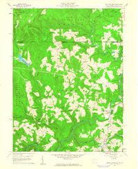
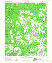
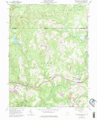
Editions of this 1960 Bruceton Mills Map
5 editions found
Other maps of this area

1900 · Uniontown
USGS Topo · 1:62,500

1900 · Masontown
USGS Topo · 1:62,500

1902 · Morgantown
USGS Topo · 1:62,500

1903 · Masontown
USGS Topo · 1:62,500

1904 · Bruceton
USGS Topo · 1:62,500

1925 · Morgantown
USGS Topo · 1:62,500

1926 · Bruceton
USGS Topo · 1:62,500

1931 · Uniontown
USGS Topo · 1:62,500

1931 · Masontown
USGS Topo · 1:62,500

1931 · Bruceton Mills
USGS Topo · 1:62,500