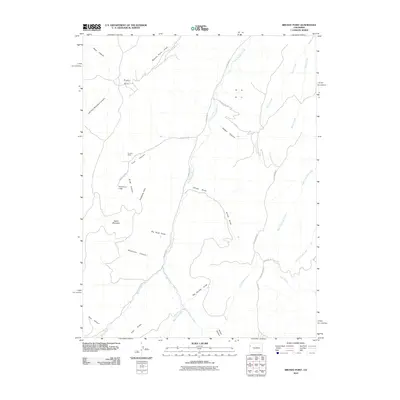
2010 Map of Brushy Point
USGS Topo · Published 2010About this map
Sunkirk Mine and the Trail Canyon Lodge anchor this 2010 study of Garfield County's high-altitude drainage basins. The landscape is defined by a dense network of canyons and draws that funnel into the East Douglas Creek system, including Trail Canyon, Slide Canyon, and the sprawling Decker Canyon. This network of natural corridors once facilitated movement through the Western Slope's interior, long before modern pavement followed the path of County Rd 27. Prominent elevations like Scare Mountain and Ponderosa Point provide a sense of the vertical relief that separates these watercourses. Genealogists and local historians can trace the intersection of early extraction efforts and primitive roadways like Little Burma Rd, which winds through the eastern draws toward Sucker Creek. The naming conventions found here, from Brushy Point to Wildhorse Canyon, reflect the rugged utility of the cattle and mining era.
Find a feature on this map
32 named features on this map. Tap any name to fly to it.
Don’t see what you’re looking for? This feature index may not catch every label — zoom into the map to look around manually.
Map Details
Editions of this 2010 Brushy Point Map
This is the sole edition of this map. No revisions or reprints were ever made.
Other maps of this area

1956 · Grand Junction
USGS Topo · 1:250,000

1959 · Grand Junction
USGS Topo · 1:250,000

1960 · Grand Junction
USGS Topo · 1:250,000
1962 · Grand Junction
USGS Topo · 1:250,000
1964 · Grand Junction
USGS Topo · 1:250,000
1964 · Douglas Pass
USGS Topo · 1:24,000
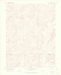
1964 · Brushy Point
USGS Topo · 1:24,000
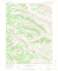
1964 · Henderson Ridge
USGS Topo · 1:24,000
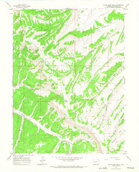
1964 · Black Cabin Gulch
USGS Topo · 1:24,000
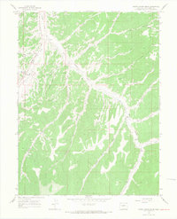
1964 · White Coyote Draw
USGS Topo · 1:24,000