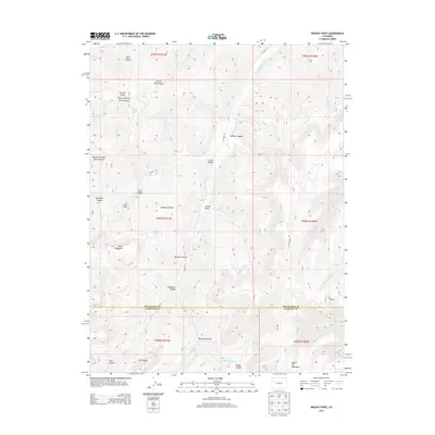
2013 Map of Brushy Point
USGS Topo · Published 2013About this map
Scare Mountain and Pike Ridge define the high country of this Colorado landscape, where the Garfield and Rio Blanco county line cuts through a complex system of drainages and peaks. The map reveals a land shaped by deep erosive features, from the broad Brushy Point Draw to the confined corridors of Wildhorse Canyon and Decker Canyon. Water sources are critical points in this arid environment, marked by Ponderosa Spring and Big Spring.
Find a feature on this map
42 named features on this map. Tap any name to fly to it.
Don’t see what you’re looking for? This feature index may not catch every label — zoom into the map to look around manually.
Map Details
Editions of this 2013 Brushy Point Map
This is the sole edition of this map. No revisions or reprints were ever made.
Other maps of this area

1956 · Grand Junction
USGS Topo · 1:250,000

1959 · Grand Junction
USGS Topo · 1:250,000

1960 · Grand Junction
USGS Topo · 1:250,000
1962 · Grand Junction
USGS Topo · 1:250,000
1964 · Grand Junction
USGS Topo · 1:250,000
1964 · Douglas Pass
USGS Topo · 1:24,000
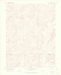
1964 · Brushy Point
USGS Topo · 1:24,000
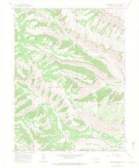
1964 · Henderson Ridge
USGS Topo · 1:24,000
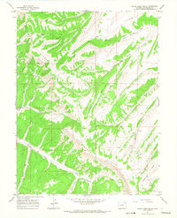
1964 · Black Cabin Gulch
USGS Topo · 1:24,000
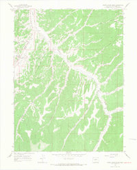
1964 · White Coyote Draw
USGS Topo · 1:24,000