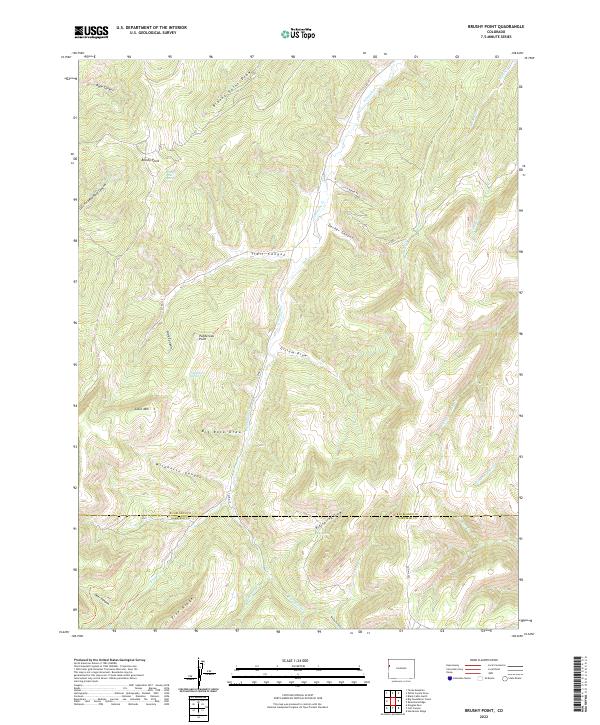
2022 Map of Brushy Point
USGS Topo · Published 2022About this map
Brushy Point and Pike Ridge define a landscape of deeply incised canyons and high-altitude plateaus in northwestern Colorado. This high country is marked by seasonal water sources such as Ponderosa Spring, Big Spring, and Brushy Point Spring, which would have been critical navigation points for early travelers and ranchers. The drainage patterns of E Douglas Cr and its tributaries, including Trail Canyon and Decker Canyon, illustrate the complex topography that governed movement across the Rio Blanco and Garfield county line.
Find a feature on this map
38 named features on this map. Tap any name to fly to it.
Don’t see what you’re looking for? This feature index may not catch every label — zoom into the map to look around manually.
Map Details
Editions of this 2022 Brushy Point Map
This is the sole edition of this map. No revisions or reprints were ever made.
Other maps of this area

1956 · Grand Junction
USGS Topo · 1:250,000

1959 · Grand Junction
USGS Topo · 1:250,000

1960 · Grand Junction
USGS Topo · 1:250,000

1962 · Grand Junction
USGS Topo · 1:250,000

1964 · Grand Junction
USGS Topo · 1:250,000

1964 · Douglas Pass
USGS Topo · 1:24,000

1964 · Brushy Point
USGS Topo · 1:24,000

1964 · Henderson Ridge
USGS Topo · 1:24,000

1964 · Black Cabin Gulch
USGS Topo · 1:24,000
1964 · White Coyote Draw
USGS Topo · 1:24,000