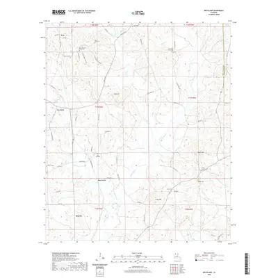
2020 Map of Bryceland
USGS Topo · Published 2020About this map
Driskill Mtn stands as a prominent landmark in this section of Bienville Parish, rising above a landscape defined by the winding course of Saline Bayou. The area around Bryceland and Bienville is dotted with numerous country burial grounds, such as Mount Gillard Cem and Bear Creek Cem, which serve as vital points of interest for genealogists tracing local families. The terrain is a network of small watercourses like Little Bear Cr and Choctaw Cr that drain the high ground of Mossy Hill and Jordan Mtn. Settlement patterns follow the ridge lines and parish roads, reflecting a community deeply rooted in its geography, where landmarks like New Fellowship Church Cem remain central to the local identity. The mapping of Bear Creek and its surroundings reveals the persistent rural character of North Louisiana.
Find a feature on this map
66 named features on this map. Tap any name to fly to it.
Don’t see what you’re looking for? This feature index may not catch every label — zoom into the map to look around manually.
Map Details
Editions of this 2020 Bryceland Map
This is the sole edition of this map. No revisions or reprints were ever made.
Other maps of this area

1947 · Bienville
USGS Topo · 1:62,500

1948 · Jamestown
USGS Topo · 1:62,500

1949 · Jamestown
USGS Topo · 1:62,500

1949 · Bienville
USGS Topo · 1:62,500

1949 · Gibsland
USGS Topo · 1:62,500

1950 · Gibsland
USGS Topo · 1:62,500

1950 · Arcadia
USGS Topo · 1:62,500

1951 · Arcadia
USGS Topo · 1:62,500

1955 · Shreveport
USGS Topo · 1:250,000

1956 · Shreveport
USGS Topo · 1:250,000