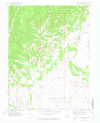
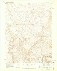
1970 Map of Bryson Canyon
USGS Topo · Published 1973About this map
Book Cliffs dominate the landscape of this Grand County region, where steep escarpments and high ridges define the northern terrain. This 1970s survey captures an era of active resource extraction, evidenced by the numerous Gas Wells, Drill Holes, and a sprawling Pipeline network concentrated within the Bar X Gas Field. The rugged geography is shaped by deep drainages such as San Arroyo Canyon and Bryson Canyon, while lower elevations are marked by San Arroyo Wash and Bryson Wash winding south toward the Colorado state line. Isolated landmarks like Hat Rock and Lion Bench stand out amidst a network of Jeep Trails, which provide the primary access through these remote uplands. The presence of several Corrals suggests a continued reliance on the land for ranching alongside the burgeoning energy industry.
Find a feature on this map
26 named features on this map. Tap any name to fly to it.
Don’t see what you’re looking for? This feature index may not catch every label — zoom into the map to look around manually.
Map Details
Editions of this 1970 Bryson Canyon Map
2 editions found
Other maps of this area

1885 · East Tavaputs
USGS Topo · 1:250,000

1956 · Grand Junction
USGS Topo · 1:250,000

1959 · Grand Junction
USGS Topo · 1:250,000

1960 · Grand Junction
USGS Topo · 1:250,000

1962 · Grand Junction
USGS Topo · 1:250,000

1964 · Grand Junction
USGS Topo · 1:250,000

1965 · Grand Junction
USGS Topo · 1:250,000
1970 · Harley Dome
USGS Topo · 1:24,000
1970 · Bar X Wash
USGS Topo · 1:24,000
1970 · Bitter Creek Well
USGS Topo · 1:24,000