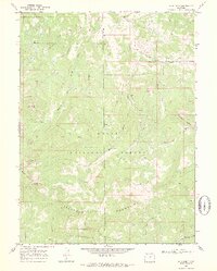
1969 Map of Buck Point
USGS Topo · Published 1973About this map
The Routt National Forest straddles the high Divide between Moffat and Routt counties in this 1969 survey. This high-altitude landscape is defined by the headwaters of several major drainages, including Slater Creek and the North Fork Elkhead Creek. The lack of primary roads suggests an era of limited mechanical access, with much of the interior navigable only by the Bears Ears Trail (Pack), a vital route for forest management and backcountry travel.
Find a feature on this map
24 named features on this map. Tap any name to fly to it.
Don’t see what you’re looking for? This feature index may not catch every label — zoom into the map to look around manually.
Map Details
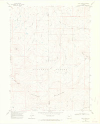
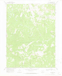
Editions of this 1969 Buck Point Map
3 editions found
Other maps of this area

1923 · Elkhead Creek
USGS Topo · 1:62,500

1923 · Pilot Knob
USGS Topo · 1:62,500

1924 · Elkhead Creek
USGS Topo · 1:62,500

1925 · Pilot Knob
USGS Topo · 1:62,500

1954 · Craig
USGS Topo · 1:250,000

1957 · Craig
USGS Topo · 1:250,000

1958 · Craig
USGS Topo · 1:250,000

1960 · Craig
USGS Topo · 1:250,000

1962 · Craig
USGS Topo · 1:250,000
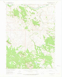
1962 · Tumble Mountain
USGS Topo · 1:24,000