
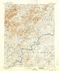
1892 Map of Buckingham
USGS Topo · Published 1892About this map
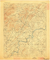
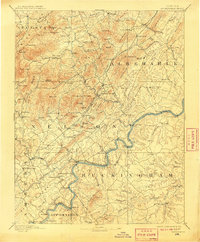
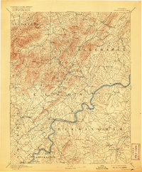
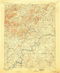
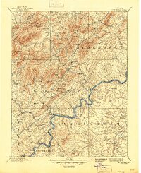
The James River snakes across the Piedmont landscape in this late nineteenth-century survey, defining the boundaries between Nelson, Albemarle, and Buckingham counties. The regional economy is visible through its diverse transit and industrial networks, notably the Virginia Midland Railroad and the Richmond and Alleghany Railroad which followed the river's path. Local industry and social life are anchored by landmarks like the Soap Stone Quarry near Schuyler and the Kleinburg School further north. From the county seat at Lovingston to the numerous mills such as Rose's Mill and Variety Mills, the map documents a network of rural settlements and family-named mountains including Ball Room Mt and Findlay Mountain. River traffic is noted at points like Browns Landing, reflecting a time when water, rail, and road systems were all vital for transporting goods like soapstone and agricultural products.
Find a feature on this map
154 named features on this map. Tap any name to fly to it.
Don’t see what you’re looking for? This feature index may not catch every label — zoom into the map to look around manually.
Map Details
Editions of this 1892 Buckingham Map
7 editions found
Other maps of this area

1891 · Palmyra
USGS Topo · 1:125,000

1891 · Farmville
USGS Topo · 1:125,000

1892 · Lynchburg
USGS Topo · 1:125,000

1892 · Appomattox
USGS Topo · 1:125,000

1892 · Gordonsville
USGS Topo · 1:125,000

1892 · Harrisonburg
USGS Topo · 1:125,000

1893 · Farmville
USGS Topo · 1:125,000

1894 · Staunton
USGS Topo · 1:125,000

1894 · Lexington
USGS Topo · 1:125,000

1895 · Palmyra
USGS Topo · 1:125,000