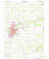
1960 Map of Bucyrus
USGS Topo · Published 1974About this map
Bucyrus serves as the industrial and civic anchor of this Crawford County landscape, where the Penn Central railroad lines intersect the downtown street grid near the local Courthouse and Po. The town’s 1960s footprint is visible alongside early 1970s urban extensions, including the Carlisle Sch, High Sch, and various medical and municipal facilities. Beyond the city center, the topography is defined by the Sandusky River and the dual reservoirs of Bucyrus Reservoir and Riley Reservoir, which provide a distinct water-management profile for the region.
Find a feature on this map
61 named features on this map. Tap any name to fly to it.
Don’t see what you’re looking for? This feature index may not catch every label — zoom into the map to look around manually.
Map Details
Editions of this 1960 Bucyrus Map
4 editions found
Other maps of this area

1903 · Marion
USGS Topo · 1:62,500

1905 · Marion
USGS Topo · 1:62,500

1906 · Sycamore
USGS Topo · 1:62,500

1913 · Mount Gilead
USGS Topo · 1:62,500

1915 · Bucyrus
USGS Topo · 1:62,500

1916 · Mount Gilead
USGS Topo · 1:62,500

1943 · Bucyrus
USGS Topo · 1:62,500

1943 · Mount Gilead
USGS Topo · 1:62,500

1950 · Marion
USGS Topo · 1:250,000

1960 · North Robinson
USGS Topo · 1:24,000