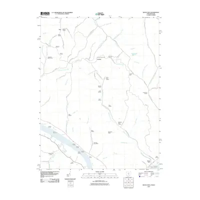
2010 Map of Buena Vista
USGS Topo · Published 2010About this map
Ohio River landings and steep-walled hollows dominate this riverine landscape at the turn of the 21st century. The riverfront is a series of historically significant transfer points, including Stone Chimney Landing, Wyckoffs Landing, Shamrock Landing, and Bradfords Landing, situated near Dam Number 32. These features reflect a legacy of river-based commerce and transportation along the southern border of Ohio. Inland, the terrain rises into ridges such as Blackburn Ridge, where family and community history is preserved in sites like Manchester Cemetery and Step Church Cemetery.
Find a feature on this map
90 named features on this map. Tap any name to fly to it.
Don’t see what you’re looking for? This feature index may not catch every label — zoom into the map to look around manually.
Map Details
Editions of this 2010 Buena Vista Map
This is the sole edition of this map. No revisions or reprints were ever made.
Other maps of this area

1915 · Garrison
USGS Topo · 1:62,500

1915 · Otway
USGS Topo · 1:62,500

1916 · Peebles
USGS Topo · 1:62,500

1917 · Otway
USGS Topo · 1:62,500

1918 · Garrison
USGS Topo · 1:62,500

1918 · Peebles
USGS Topo · 1:62,500

1919 · Vanceburg
USGS Topo · 1:62,500

1949 · Pond Run
USGS Topo · 1:24,000

1949 · Vanceburg
USGS Topo · 1:62,500

1949 · Garrison
USGS Topo · 1:24,000