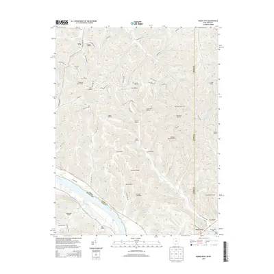
2013 Map of Buena Vista
USGS Topo · Published 2013About this map
Buena Vista sits at the southern edge of this landscape where the Ohio River forms a natural border between Ohio and Kentucky. The area is defined by a dense network of ridges and hollows, such as Blackburn Ridge and Silver Mine Hollow, showing the complex drainage systems feeding into the river. Inland, small settlements like Selig and the community around Sunshine Ridge Cem are connected by narrow roads winding through the topography, including Sunshine Ridge Rd and Truman Park Rd.
Find a feature on this map
89 named features on this map. Tap any name to fly to it.
Don’t see what you’re looking for? This feature index may not catch every label — zoom into the map to look around manually.
Map Details
Editions of this 2013 Buena Vista Map
This is the sole edition of this map. No revisions or reprints were ever made.
Other maps of this area

1915 · Garrison
USGS Topo · 1:62,500

1915 · Otway
USGS Topo · 1:62,500

1916 · Peebles
USGS Topo · 1:62,500

1917 · Otway
USGS Topo · 1:62,500

1918 · Garrison
USGS Topo · 1:62,500

1918 · Peebles
USGS Topo · 1:62,500

1919 · Vanceburg
USGS Topo · 1:62,500

1949 · Pond Run
USGS Topo · 1:24,000

1949 · Vanceburg
USGS Topo · 1:62,500

1949 · Garrison
USGS Topo · 1:24,000