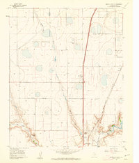
1960 Map of Buffalo Stadium
USGS Topo · Published 1962About this map
Spring Draw meanders southward through the center of this High Plains landscape, eventually feeding into the dramatic canyon system where Palo Duro Creek and Tierra Blanca Creek converge. This confluence marks the headwaters of the Prairie Dog Town Fork Red River, a critical geographic feature that defines the local topography. Near the southern breaks, Buffalo Stadium and the Canyon City Club represent the mid-century recreational footprint of the region.
Find a feature on this map
21 named features on this map. Tap any name to fly to it.
Don’t see what you’re looking for? This feature index may not catch every label — zoom into the map to look around manually.
Map Details
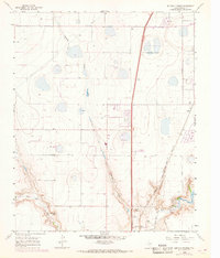
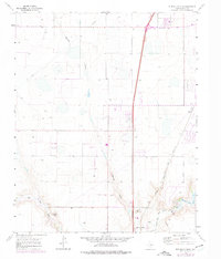
Editions of this 1960 Buffalo Stadium Map
3 editions found
Other maps of this area

1954 · Tucumcari
USGS Topo · 1:250,000

1954 · Amarillo
USGS Topo · 1:250,000

1954 · Plainview
USGS Topo · 1:250,000

1954 · Clovis
USGS Topo · 1:250,000

1956 · Amarillo East
USGS Topo · 1:24,000

1958 · Clovis
USGS Topo · 1:250,000

1958 · Amarillo
USGS Topo · 1:250,000

1958 · Tucumcari
USGS Topo · 1:250,000

1958 · Plainview
USGS Topo · 1:250,000

1960 · Canyon
USGS Topo · 1:62,500