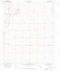
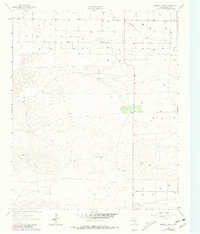
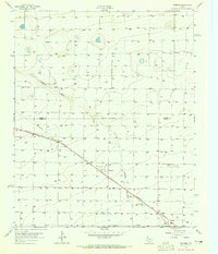
1968 Map of Bula
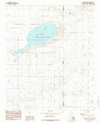
USGS Topo · Published 1970This historical map portrays the area of Bula in 1968, primarily covering Bailey County. Featuring a scale of 1:24000, this map provides a highly detailed snapshot of the terrain, roads, buildings, counties, and historical landmarks in the Bula region at the time. Published in 1970, it is one of 3 known editions of this map due to revisions or reprints.
Find a feature on this map
13 named features on this map. Tap any name to fly to it.
Don’t see what you’re looking for? This feature index may not catch every label — zoom into the map to look around manually.
Map Details
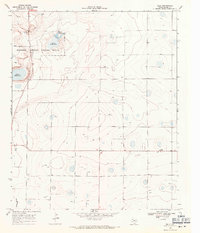
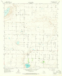
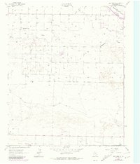
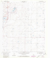
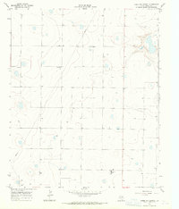
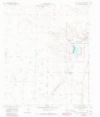
Editions of this 1968 Bula Map
3 editions found
Historical Maps of Bailey County Through Time
11 maps found
1962 Baileyboro
Bailey County, TX
1962 Baileyboro NE
Bailey County, TX
1962 Birdwell Ranch
Bailey County, TX
1962 Needmore
Bailey County, TX
1962 Stegall
Bailey County, TX
1963 Lazbuddie SW
Bailey County, TX
1963 Progress
Bailey County, TX
1968 Bula
Bailey County, TX
1968 Three Way School
Bailey County, TX
1968 Upper White Lake
Bailey County, TX
1985 Golden Ranch
Bailey County, TX