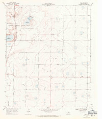
1968 Map of Bula
USGS Topo · Published 1971About this map
Muleshoe National Wildlife Refuge dominates the northwestern corner of this West Texas landscape, preserving a series of ephemeral saline basins including Upper Pauls Lake, Lower Pauls Lake, and Lower Goose Lake. These playas are critical water sources in the arid High Plains of Bailey County, surrounded by a grid of rural roads and scattered infrastructure. The settlement of Bula sits to the east, marked by a small cluster of structures and a water tower near the intersection of several local routes.
Find a feature on this map
14 named features on this map. Tap any name to fly to it.
Don’t see what you’re looking for? This feature index may not catch every label — zoom into the map to look around manually.
Map Details
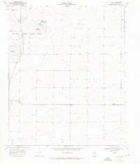
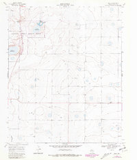
Editions of this 1968 Bula Map
3 editions found
Other maps of this area

1954 · Clovis
USGS Topo · 1:250,000

1954 · Brownfield
USGS Topo · 1:250,000

1958 · Brownfield
USGS Topo · 1:250,000

1958 · Clovis
USGS Topo · 1:250,000

1962 · Brownfield
USGS Topo · 1:250,000

1962 · Needmore
USGS Topo · 1:24,000

1962 · Baileyboro
USGS Topo · 1:24,000

1962 · Sudan
USGS Topo · 1:24,000

1964 · Pep
USGS Topo · 1:24,000
1964 · Beck
USGS Topo · 1:24,000