
1969 Map of Burlington 3 SE
USGS Topo · Published 1972About this map
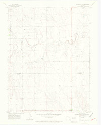
The high plains of eastern Colorado are defined here by the winding course of the North Fork Smoky Hill River, which cuts a subtle valley through the arid landscape. This late 1960s survey captures the boundary between Kit Carson Co and Cheyenne Co as it crosses a territory largely dedicated to resource extraction and cattle ranching. The most pervasive human imprint on this terrain is the distribution of several dozen wells, scattered across the undulating sections to support the regional economy. This document serves as a precise record of the land use patterns and topographical character of the western edge of the Smoky Hill drainage before further modern development altered the surface infrastructure of the High Plains.
Find a feature on this map
3 named features on this map. Tap any name to fly to it.
Don’t see what you’re looking for? This feature index may not catch every label — zoom into the map to look around manually.
Map Details
Editions of this 1969 Burlington 3 SE Map
5 editions found
Other maps of this area

1892 · Cheyenne Wells
USGS Topo · 1:125,000

1894 · Cheyenne Wells
USGS Topo · 1:125,000

1954 · Limon
USGS Topo · 1:250,000

1954 · Lamar
USGS Topo · 1:250,000

1957 · Limon
USGS Topo · 1:250,000

1958 · Limon
USGS Topo · 1:250,000

1958 · Lamar
USGS Topo · 1:250,000

1969 · Mount Sunflower SW
USGS Topo · 1:24,000

1969 · Mount Sunflower NW
USGS Topo · 1:24,000

1969 · Burlington 3 NW
USGS Topo · 1:24,000