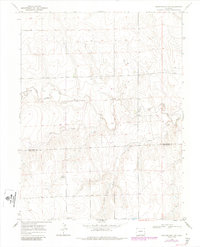
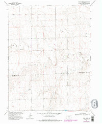
1969 Map of Burlington 3 SW
USGS Topo · Published 1985About this map
The high plains along the boundary of Kit Carson Co Cheyenne Co are defined by the winding drainages of the North Fork Smoky Hill River, which cuts across the central landscape. This 1960s survey, updated in the mid-1980s, reveals a terrain shaped by water and ranching, with Windrift Ranch serving as a primary named landmark in a region characterized by wide-open cattle country. Several ephemeral waterways, including Cow Creek and Rock Creek, thread through the topography, illustrating the drainage patterns that dominate this portion of eastern Colorado. The presence of a long-distance Pipeline and scattered Well sites indicates the integration of energy infrastructure into the traditional agricultural landscape during the latter half of the twentieth century.
Find a feature on this map
7 named features on this map. Tap any name to fly to it.
Don’t see what you’re looking for? This feature index may not catch every label — zoom into the map to look around manually.
Map Details
Editions of this 1969 Burlington 3 SW Map
5 editions found
Other maps of this area

1891 · Kit Carson
USGS Topo · 1:125,000

1892 · Cheyenne Wells
USGS Topo · 1:125,000

1893 · Kit Carson
USGS Topo · 1:125,000

1894 · Cheyenne Wells
USGS Topo · 1:125,000

1954 · Limon
USGS Topo · 1:250,000

1954 · Lamar
USGS Topo · 1:250,000

1957 · Limon
USGS Topo · 1:250,000

1958 · Limon
USGS Topo · 1:250,000

1958 · Lamar
USGS Topo · 1:250,000

1969 · Alpine Ranch NE
USGS Topo · 1:24,000