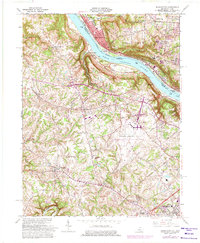
1961 Map of Burlington
USGS Topo · Published 1975About this map
The Ohio River forms a wide, sweeping bend that separates the suburban development of Cincinnati from the expanding infrastructure of Boone County. The landscape is defined by the massive footprint of the Greater Cincinnati Airport, which occupies a significant plateau above the river. Transportation networks converge here, with the Penn Central and Baltimore and Ohio railroads following the riverbank and the historic Anderson Ferry providing a river crossing near Constance. In the southern portion of the map, the transition from rural to suburban is evident in the layout of Florence and Burlington, where schools like Conner High Sch and Boone County High Sch serve the growing population. Local community life is anchored by landmarks such as the Fairgrounds and the Latonia Racetrack, while older genealogy-rich features like Garnet Cem and Hopeful Church remain preserved amidst the mid-century expansion.
Find a feature on this map
40 named features on this map. Tap any name to fly to it.
Don’t see what you’re looking for? This feature index may not catch every label — zoom into the map to look around manually.
Map Details
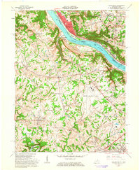
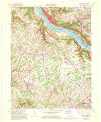
Editions of this 1961 Burlington Map
3 editions found
Other maps of this area

1914 · West Cincinnati
USGS Topo · 1:62,500

1915 · Lawrenceburg
USGS Topo · 1:48,000

1928 · Lawrenceburg
USGS Topo · 1:62,500

1932 · Lawrenceburg
USGS Topo · 1:62,500

1943 · Rising Sun
USGS Topo · 1:24,000

1943 · Hooven
USGS Topo · 1:24,000

1943 · Lawrenceburg
USGS Topo · 1:24,000

1950 · Union
USGS Topo · 1:24,000

1950 · Independence
USGS Topo · 1:24,000

1950 · Covington
USGS Topo · 1:24,000