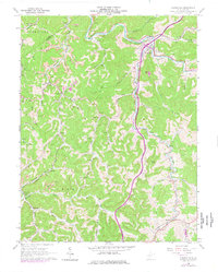
1965 Map of Burnsville
USGS Topo · Published 1977About this map
The Little Kanawha River winds through this central West Virginia landscape, providing a narrow corridor for the Baltimore and Ohio railroad and the town of Burnsville. The 1960s terrain is heavily defined by the extraction economy, with several strip mines and numerous gas wells peppering the ridges and hollows near Bower and Copen. This survey preserves the locations of vital community centers that served the rural hollows, including Union Chapel, Providence Ch, and the Cedar Creek Sch. Along the southern reaches, the map detail follows the railroad line through smaller stops like Rollyson, Heaters, and Exchange. The complex drainage network of Saltlick Creek and the Right Fork illustrates the traditional settlement patterns where homes and farms were established along narrow runs and forks, such as Hyers Run and Wolfpen Run, beneath named high points like Gabel Knob.
Find a feature on this map
65 named features on this map. Tap any name to fly to it.
Don’t see what you’re looking for? This feature index may not catch every label — zoom into the map to look around manually.
Map Details
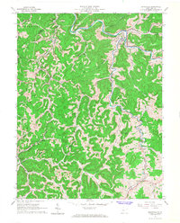
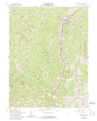
Editions of this 1965 Burnsville Map
3 editions found
Other maps of this area

1893 · Sutton
USGS Topo · 1:125,000

1906 · Glenville
USGS Topo · 1:62,500

1906 · Burnsville
USGS Topo · 1:62,500

1908 · Gassaway
USGS Topo · 1:48,000

1908 · Sutton
USGS Topo · 1:48,000

1910 · Sutton Special
USGS Topo · 1:62,500

1910 · Gassaway
USGS Topo · 1:62,500

1925 · Glenville
USGS Topo · 1:62,500

1925 · Burnsville
USGS Topo · 1:62,500

1927 · Burnsville
USGS Topo · 1:62,500