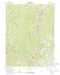
1965 Map of Burnsville
USGS Topo · Published 1989About this map
The Little Kanawha River meanders through the central West Virginia hills at Burnsville, where a convergence of drainage systems has historically shaped settlement. In the mid-1960s, this area of Braxton and Gilmer counties was defined by its coal and gas extraction, with numerous Strip Mines and gas wells peppered across the landscape, particularly near Bower and along Copen Run. The map records a dense network of local landmarks essential for genealogical research, including rural congregations like Providence Ch and Union Chapel, and the Cedar Creek Sch in the southwest. Later revisions indicate the arrival of the interstate era with Interchange 79 and the establishment of the Burnsville Lake Public Hunting and Fishing Area, signaling a shift toward recreation as the river's path was modified.
Find a feature on this map
64 named features on this map. Tap any name to fly to it.
Don’t see what you’re looking for? This feature index may not catch every label — zoom into the map to look around manually.
Map Details
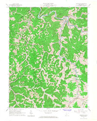
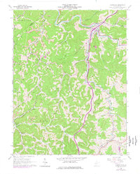
Editions of this 1965 Burnsville Map
3 editions found
Other maps of this area

1893 · Sutton
USGS Topo · 1:125,000

1906 · Glenville
USGS Topo · 1:62,500

1906 · Burnsville
USGS Topo · 1:62,500

1908 · Gassaway
USGS Topo · 1:48,000

1908 · Sutton
USGS Topo · 1:48,000

1910 · Sutton Special
USGS Topo · 1:62,500

1910 · Gassaway
USGS Topo · 1:62,500

1925 · Glenville
USGS Topo · 1:62,500

1925 · Burnsville
USGS Topo · 1:62,500

1927 · Burnsville
USGS Topo · 1:62,500