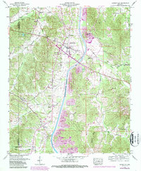
1950 Map of Burnsville
USGS Topo · Published 1987About this map
Burnsville serves as the central hub of this Mississippi landscape, situated at the intersection of the Southern railroad and the Lee Highway. The terrain is defined by a series of drainage canals and branches, including the Yellow Creek Canal and Coke Drainage Canal, which illustrate the region's managed waterways. To the south and east, the massive Tennessee-Tombigbee Waterway cuts a broad path through the hills, accompanied by a significant Spoil Area that indicates the scale of this engineering feat.
Find a feature on this map
49 named features on this map. Tap any name to fly to it.
Don’t see what you’re looking for? This feature index may not catch every label — zoom into the map to look around manually.
Map Details
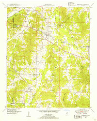
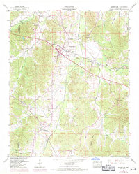
Editions of this 1950 Burnsville Map
3 editions found
Other maps of this area

1911 · Iuka
USGS Topo · 1:48,000

1914 · Iuka
USGS Topo · 1:62,500

1935 · Holcut
USGS Topo · 1:24,000

1935 · Doskie
USGS Topo · 1:24,000

1935 · Iuka
USGS Topo · 1:24,000

1935 · Leedy
USGS Topo · 1:24,000

1935 · Glens
USGS Topo · 1:24,000

1936 · Kendrick
USGS Topo · 1:24,000

1936 · Shaws
USGS Topo · 1:24,000

1936 · Tishomingo
USGS Topo · 1:24,000