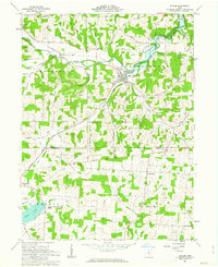
1961 Map of Butler
USGS Topo · Published 1963About this map
Butler serves as the central hub of this Richland County landscape, situated along the Clear Fork Mohican River and the Baltimore and Ohio railroad corridor. The village is defined by early 1960s infrastructure including a Gaging Station and Sewage Disposal plant. To the south, the Greenville Treaty Line bisects the map, marking the historical boundary between different land survey systems: the Congress Lands to the north and the United States Military District to the south. This survey captures a mix of agricultural and conservation land, notably the State Conservation Area surrounding Knox Lake. Smaller rural clusters such as North Liberty and Four Corners are visible, while landmarks like Gatton Rock and Templed Hills Camp suggest the area's recreational and natural character. Numerous family-named roads, such as Teeter Road and Swank Rd, provide specific geographical markers for local historians.
Find a feature on this map
64 named features on this map. Tap any name to fly to it.
Don’t see what you’re looking for? This feature index may not catch every label — zoom into the map to look around manually.
Map Details
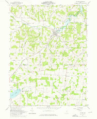
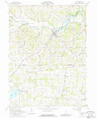
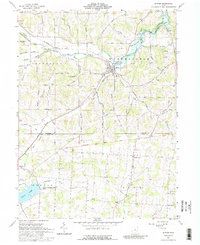
Editions of this 1961 Butler Map
4 editions found
Other maps of this area

1912 · Gambier
USGS Topo · 1:62,500

1912 · Perrysville
USGS Topo · 1:62,500

1914 · Gambier
USGS Topo · 1:62,500

1915 · Perrysville
USGS Topo · 1:62,500

1915 · Shauck
USGS Topo · 1:62,500

1915 · Fredericktown
USGS Topo · 1:62,500

1943 · Shauck
USGS Topo · 1:62,500

1943 · Gambier
USGS Topo · 1:62,500

1943 · Fredericktown
USGS Topo · 1:62,500

1944 · Perrysville
USGS Topo · 1:62,500