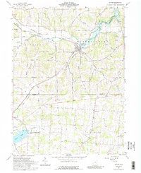
1961 Map of Butler
USGS Topo · Published 1988About this map
Butler serves as the primary hub of this 1961 landscape, situated where the Baltimore and Ohio railroad corridor meets the winding path of the Clear Fork Mohican River. The map reveals a fascinating intersection of historical surveying practices, bisected by the Greenville Treaty Line, which separates different early land divisions. To the south, the recently developed Knox Lake dominates the Berlin township area within the Knox Lake State Conservation Area. This survey documents a rural environment transitioning toward recreation and conservation, evidenced by Camp Otyokwa and Templar Hills Camp tucked into the hills. Local history is anchored by family-named landmarks like Gatton Rock and several small burial grounds including Dutch Hill Cem and Basset Cem, providing essential details for genealogists and regional researchers.
Find a feature on this map
66 named features on this map. Tap any name to fly to it.
Don’t see what you’re looking for? This feature index may not catch every label — zoom into the map to look around manually.
Map Details
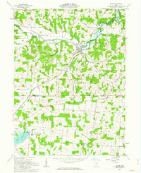
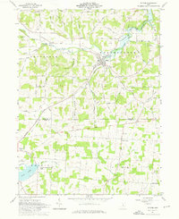
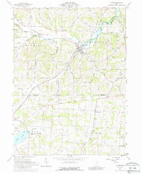
Editions of this 1961 Butler Map
4 editions found
Other maps of this area

1912 · Gambier
USGS Topo · 1:62,500

1912 · Perrysville
USGS Topo · 1:62,500

1914 · Gambier
USGS Topo · 1:62,500

1915 · Perrysville
USGS Topo · 1:62,500

1915 · Shauck
USGS Topo · 1:62,500

1915 · Fredericktown
USGS Topo · 1:62,500

1943 · Shauck
USGS Topo · 1:62,500

1943 · Gambier
USGS Topo · 1:62,500

1943 · Fredericktown
USGS Topo · 1:62,500

1944 · Perrysville
USGS Topo · 1:62,500