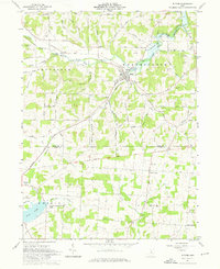
1961 Map of Butler
USGS Topo · Published 1976About this map
The village of Butler serves as the focal point of this early 1960s survey, situated along the Baltimore and Ohio railroad corridor. The landscape is defined by the Clear Fork Mohican River and several significant tributaries, including Honey Creek and Durbin Run. A notable historical boundary, the Greenville Treaty Line, cuts across the central portion of the map, marking a legacy of early frontier divisions between Jefferson and Berlin townships.
Find a feature on this map
53 named features on this map. Tap any name to fly to it.
Don’t see what you’re looking for? This feature index may not catch every label — zoom into the map to look around manually.
Map Details
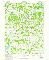
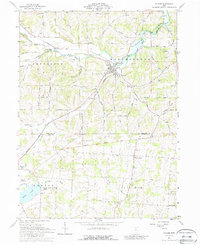
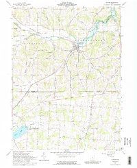
Editions of this 1961 Butler Map
4 editions found
Other maps of this area

1912 · Gambier
USGS Topo · 1:62,500

1912 · Perrysville
USGS Topo · 1:62,500

1914 · Gambier
USGS Topo · 1:62,500

1915 · Perrysville
USGS Topo · 1:62,500

1915 · Shauck
USGS Topo · 1:62,500

1915 · Fredericktown
USGS Topo · 1:62,500

1943 · Shauck
USGS Topo · 1:62,500

1943 · Gambier
USGS Topo · 1:62,500

1943 · Fredericktown
USGS Topo · 1:62,500

1944 · Perrysville
USGS Topo · 1:62,500