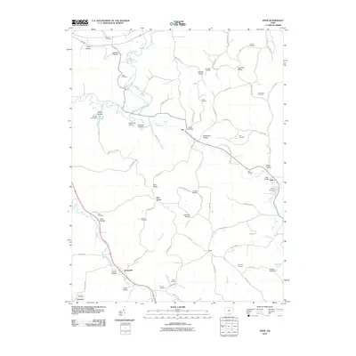
2010 Map of Byer
USGS Topo · Published 2010About this map
Middle Fork Salt Creek and its southern tributaries define the topography of this southern Ohio landscape. The village of Byer serves as a focal point near the eastern edge, where Pigeon Creek passes under the Byer Bridge. For genealogists and family historians, the sheet is exceptionally dense with small rural burial grounds, including Boblett Cemetery in the north and Limerick Cemetery near the community of Limerick.
Find a feature on this map
86 named features on this map. Tap any name to fly to it.
Don’t see what you’re looking for? This feature index may not catch every label — zoom into the map to look around manually.
Map Details
Editions of this 2010 Byer Map
This is the sole edition of this map. No revisions or reprints were ever made.
Other maps of this area

1906 · Waverly
USGS Topo · 1:62,500

1906 · Chillicothe
USGS Topo · 1:62,500

1908 · Chillicothe
USGS Topo · 1:62,500

1908 · Waverly
USGS Topo · 1:62,500

1910 · Laurelville
USGS Topo · 1:62,500

1912 · Laurelville
USGS Topo · 1:62,500

1913 · Jackson
USGS Topo · 1:62,500

1944 · Jackson
USGS Topo · 1:62,500

1944 · Laurelville
USGS Topo · 1:62,500

1947 · Columbus
USGS Topo · 1:250,000