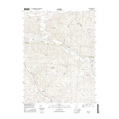
2016 Map of Byer
USGS Topo · Published 2016About this map
The boundary between Vinton and Jackson counties bisects this landscape of deeply carved ridges and hollows in southern Ohio. Tiny crossroads communities like Ray and Byer are connected by winding township roads that follow the natural drainage of Middle Fork Salt Creek and Salt Lick Creek. This 2016 survey documents a pattern of rural life where family-named landmarks such as Fairview Ridge and Log Pile Ridge define the local geography.
Find a feature on this map
71 named features on this map. Tap any name to fly to it.
Don’t see what you’re looking for? This feature index may not catch every label — zoom into the map to look around manually.
Map Details
Editions of this 2016 Byer Map
This is the sole edition of this map. No revisions or reprints were ever made.
Other maps of this area

1906 · Waverly
USGS Topo · 1:62,500

1906 · Chillicothe
USGS Topo · 1:62,500

1908 · Chillicothe
USGS Topo · 1:62,500

1908 · Waverly
USGS Topo · 1:62,500

1910 · Laurelville
USGS Topo · 1:62,500

1912 · Laurelville
USGS Topo · 1:62,500

1913 · Jackson
USGS Topo · 1:62,500

1944 · Jackson
USGS Topo · 1:62,500

1944 · Laurelville
USGS Topo · 1:62,500

1947 · Columbus
USGS Topo · 1:250,000