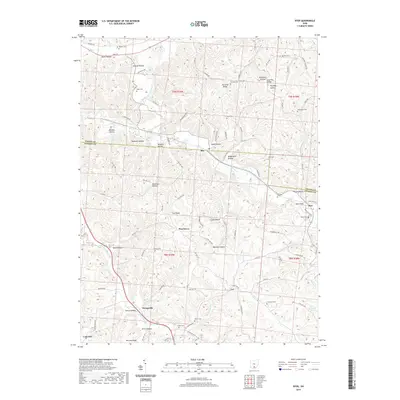
2019 Map of Byer
USGS Topo · Published 2019About this map
Sproat Lake and the winding Middle Fork Salt Creek anchor this landscape along the border of Vinton and Jackson Counties. The terrain is characterized by a dense network of ridges and hollows, such as Fairview Ridge and Buttermilk Hollow, which have long dictated the placement of small communities and family burial grounds. Settlements like Ray, Byer, and Savageville are tucked into these narrow valleys, connected by rural routes like Wellston Pike and Raysville Rd. The map reveals a high concentration of small cemeteries, including Log Pile Cem and Shoemaker Cem, reflecting the deep-seated family lineages and localized settlement patterns typical of this part of southern Ohio. Local infrastructure is highlighted by the Byer Bridge crossing near the junction of Pigeon Cr and Byers Winter Rd.
Find a feature on this map
104 named features on this map. Tap any name to fly to it.
Don’t see what you’re looking for? This feature index may not catch every label — zoom into the map to look around manually.
Map Details
Editions of this 2019 Byer Map
This is the sole edition of this map. No revisions or reprints were ever made.
Other maps of this area

1906 · Waverly
USGS Topo · 1:62,500

1906 · Chillicothe
USGS Topo · 1:62,500

1908 · Chillicothe
USGS Topo · 1:62,500

1908 · Waverly
USGS Topo · 1:62,500

1910 · Laurelville
USGS Topo · 1:62,500

1912 · Laurelville
USGS Topo · 1:62,500

1913 · Jackson
USGS Topo · 1:62,500

1944 · Jackson
USGS Topo · 1:62,500

1944 · Laurelville
USGS Topo · 1:62,500

1947 · Columbus
USGS Topo · 1:250,000