2021 Map of Calhoun East
USGS Topo · Published 2021About this map
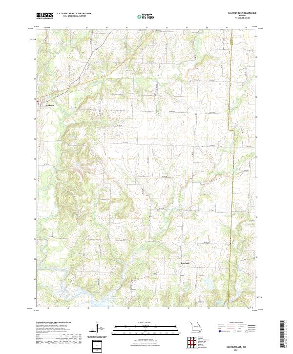
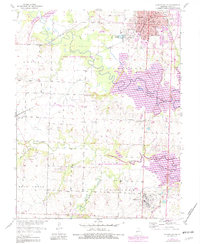
Calhoun sits at the western edge of this Henry County landscape, where the converted rail line of the Katy Trl now cuts through the rural terrain. The area is defined by an intricate drainage system feeding south toward the Harry S Truman Reservoir, with numerous family-named branches and creeks such as George Br and Barker Cr carving through the agricultural land. The transition from active rail to recreation is evident in the path of the trail, which follows the former rail grade past Middle Fork Tebo Cr and E Fork Tebo Cr.
Find a feature on this map
61 named features on this map. Tap any name to fly to it.
Don’t see what you’re looking for? This feature index may not catch every label — zoom into the map to look around manually.
Map Details
Editions of this 2021 Calhoun East Map
This is the sole edition of this map. No revisions or reprints were ever made.
Historical Maps of Yolo Through Time
14 maps found
1953 Calhoun East
Henry County, MO
1953 Calhoun West
Henry County, MO
1953 Clinton North
Henry County, MO
1953 Clinton South
Henry County, MO
1953 Gaines
Henry County, MO
1953 Johnstown
Henry County, MO
1953 Leesville
Henry County, MO
2021 Calhoun East
Henry County, MO
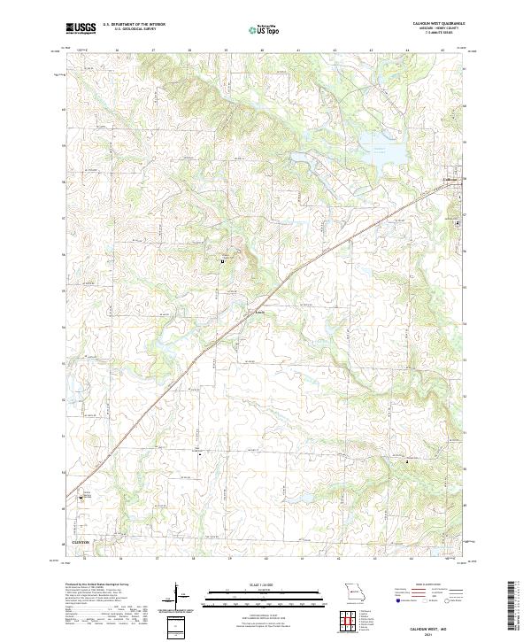
2021 Calhoun West
Henry County, MO
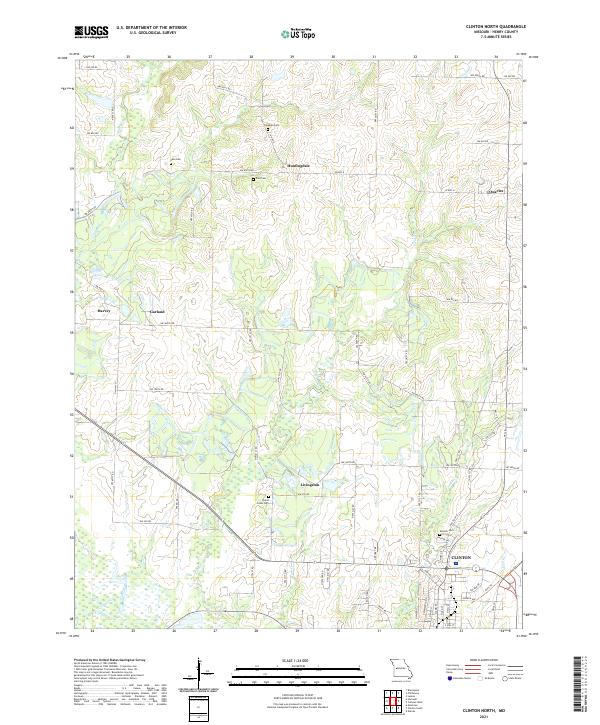
2021 Clinton North
Henry County, MO
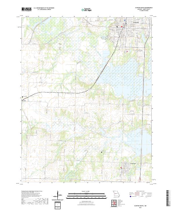
2021 Clinton South
Henry County, MO
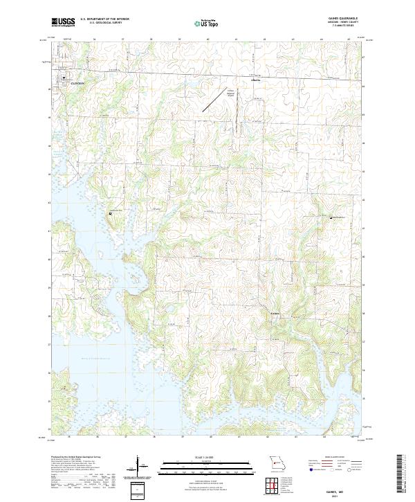
2021 Gaines
Henry County, MO
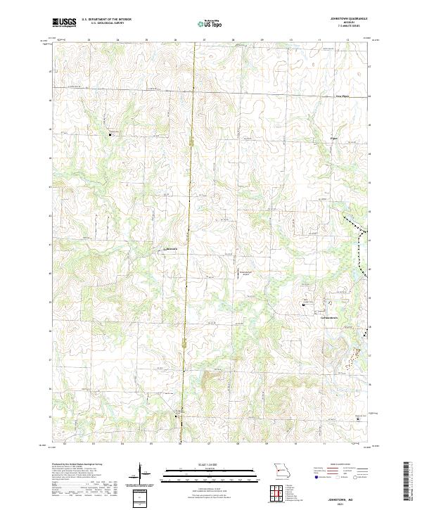
2021 Johnstown
Henry County, MO
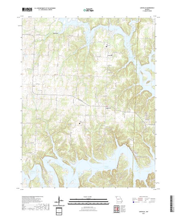
2021 Leesville
Henry County, MO