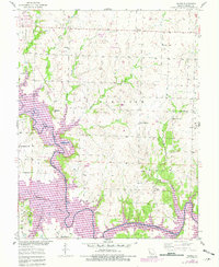
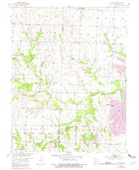
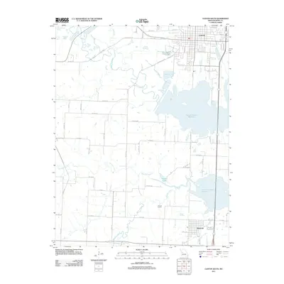
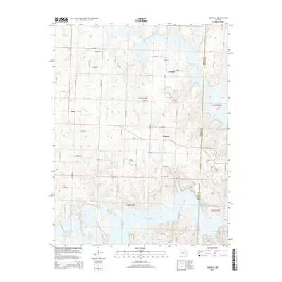
1953 Map of Leesville
USGS Topo · Published 1982About this map
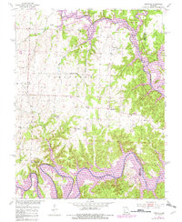
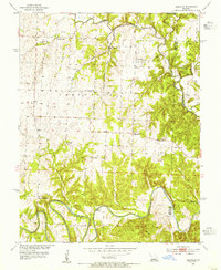
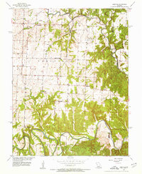
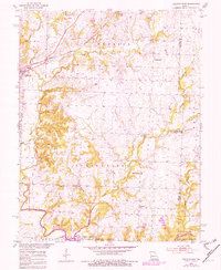
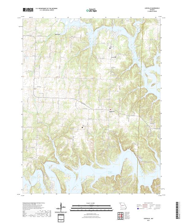
The Osage River and South Grand River dominate the southern topography of this Henry County landscape, where the rising waters of the Harry S Truman Reservoir reach into the winding creek valleys. This 1953 survey, updated in the early 1980s, captures a transition in the land as large portions are designated as State Wildlife Management Area. Local life is anchored by small rural centers like Leesville and the distinctively named Tightwad. Genealogists will find significant value in the distribution of country schools and houses of worship, including Shady Grove Sch, Turner Sch, and Parks Chapel. Evidence of local industry is visible through several labeled Mines and a Pit, particularly near the settlement of Coal, while recreation areas such as Windsor Crossing Public Use Area mark the evolving use of the riverfront.
Find a feature on this map
26 named features on this map. Tap any name to fly to it.
Don’t see what you’re looking for? This feature index may not catch every label — zoom into the map to look around manually.
Map Details
Editions of this 1953 Leesville Map
3 editions found
Historical Maps of Leesville Through Time
35 maps found
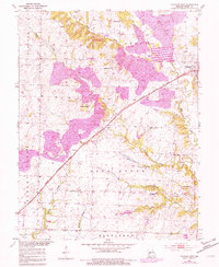
1953 Calhoun East
Henry County, MO
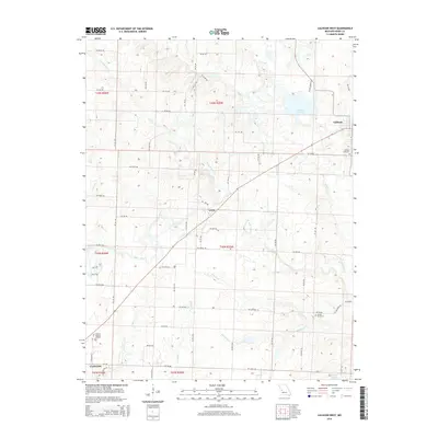
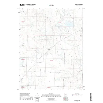
1953 Calhoun West
Henry County, MO
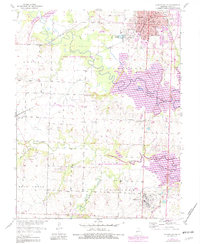
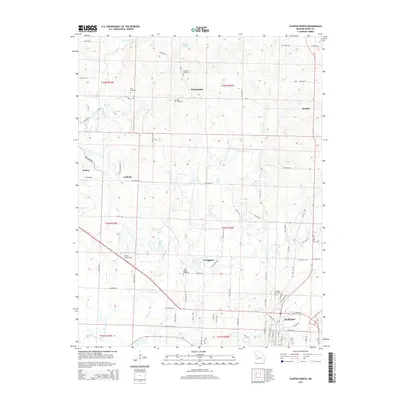
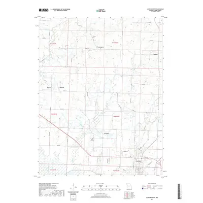
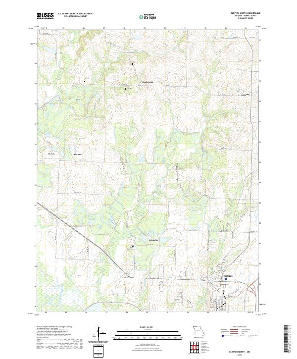
1953 Clinton North
Henry County, MO
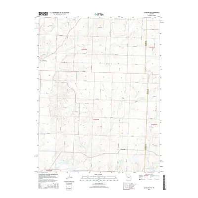
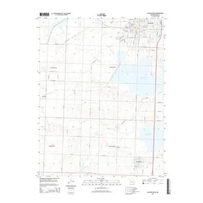
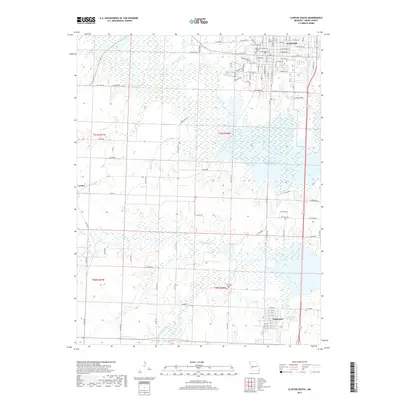
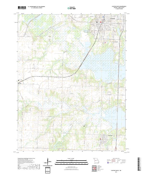
1953 Clinton South
Henry County, MO
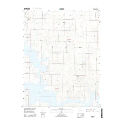
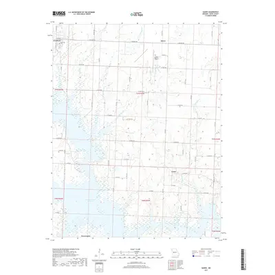
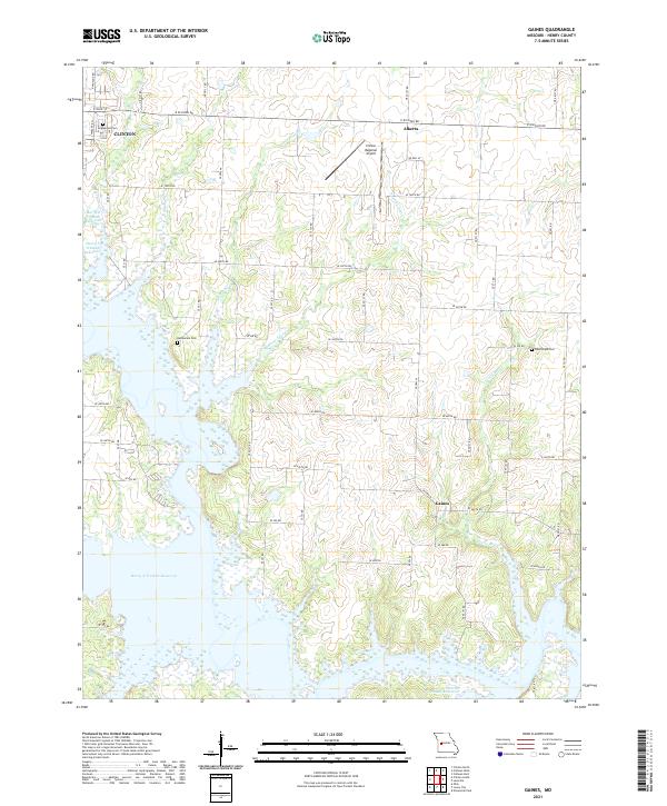
1953 Gaines
Henry County, MO
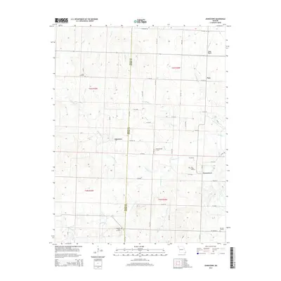
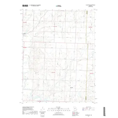
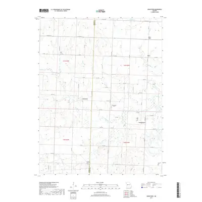
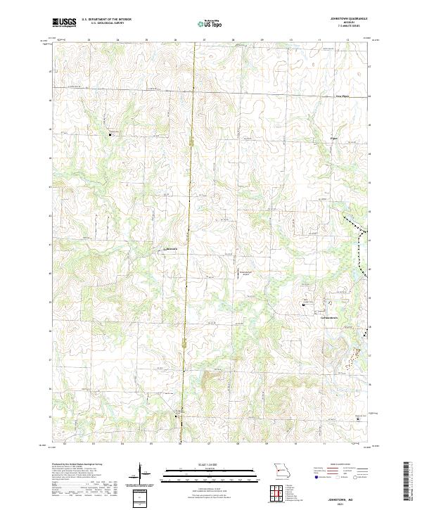
1953 Johnstown
Henry County, MO
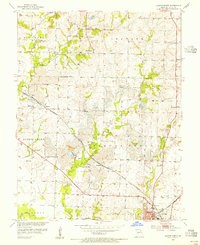
1953 Leesville
Henry County, MO
2011 Calhoun East
Henry County, MO
2011 Calhoun West
Henry County, MO
2011 Clinton North
Henry County, MO
2011 Clinton South
Henry County, MO
2011 Gaines
Henry County, MO
2011 Johnstown
Henry County, MO
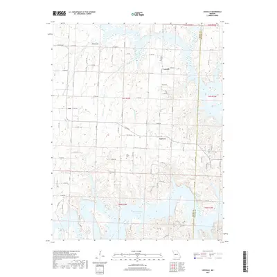
2011 Leesville
Henry County, MO
2014 Calhoun West
Henry County, MO
2014 Johnstown
Henry County, MO
2014 Leesville
Henry County, MO
2015 Calhoun East
Henry County, MO
2015 Clinton North
Henry County, MO
2015 Clinton South
Henry County, MO
2015 Gaines
Henry County, MO
2017 Calhoun East
Henry County, MO
2017 Calhoun West
Henry County, MO
2017 Clinton North
Henry County, MO
2017 Clinton South
Henry County, MO
2017 Gaines
Henry County, MO
2017 Johnstown
Henry County, MO
2017 Leesville
Henry County, MO
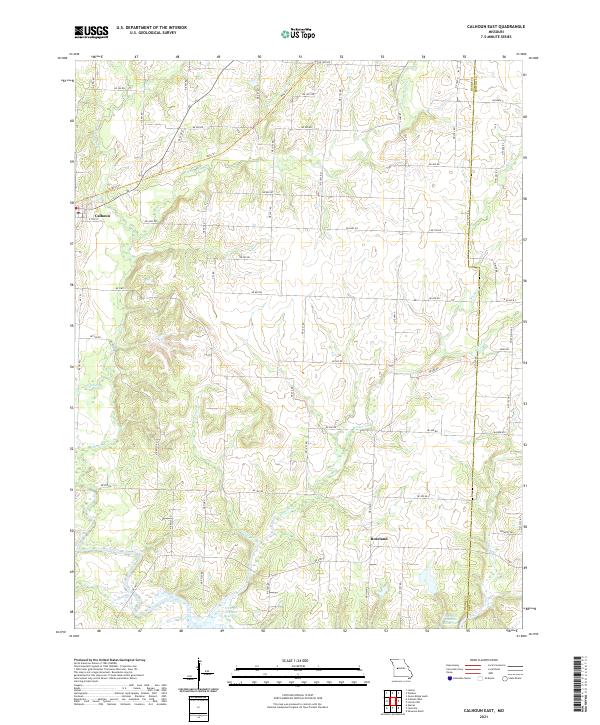
2021 Calhoun East
Henry County, MO
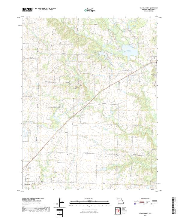
2021 Calhoun West
Henry County, MO
2021 Clinton North
Henry County, MO
2021 Clinton South
Henry County, MO
2021 Gaines
Henry County, MO
2021 Johnstown
Henry County, MO
2021 Leesville
Henry County, MO