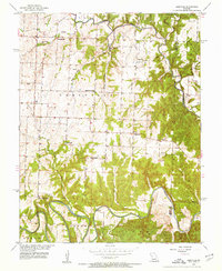
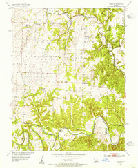
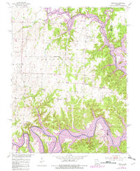
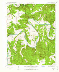
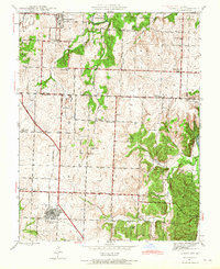
1953 Map of Leesville
USGS Topo · Published 1955About this map
The winding courses of the Osage River and the South Grand River define the southern landscape of this mid-century Missouri survey. Small communities like Leesville and the uniquely named Tightwad serve as hubs for a rural network of schoolhouses and country churches. The distribution of Hortense Sch, Shady Grove Sch, and Turner Sch across the township sections reflects the decentralized, agrarian nature of the area in the early 1950s.
Find a feature on this map
25 named features on this map. Tap any name to fly to it.
Don’t see what you’re looking for? This feature index may not catch every label — zoom into the map to look around manually.
Map Details
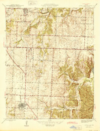
Editions of this 1953 Leesville Map
3 editions found
Other maps of this area

1887 · Clinton
USGS Topo · 1:125,000

1887 · Warsaw
USGS Topo · 1:125,000

1894 · Warsaw
USGS Topo · 1:125,000

1894 · Clinton
USGS Topo · 1:125,000

1936 · Shawnee Bend
USGS Topo · 1:24,000
1941 · Valhalla
USGS Topo · 1:24,000
1941 · Lowry City
USGS Topo · 1:24,000

1945 · Fristoe
USGS Topo · 1:62,500
1945 · Lowry City
USGS Topo · 1:24,000

1945 · Valhalla
USGS Topo · 1:24,000