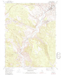
1970 Map of Caliente
USGS Topo · Published 1986About this map
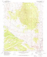
Caliente serves as the focal point for this Nevada desert landscape, where the Union Pacific railroad and Meadow Valley Wash converge. The town infrastructure of the early 1970s is well-documented, featuring the County Hospital, Rodeo Grounds, and the Nevada Girls Training Center. Southward, the geography is defined by the steep walls of Rainbow Canyon and Kershaw-Ryan State Park, a region where natural springs like Dula Spring and Log Trough Spring provided vital water in an arid environment.
Find a feature on this map
43 named features on this map. Tap any name to fly to it.
Don’t see what you’re looking for? This feature index may not catch every label — zoom into the map to look around manually.
Map Details
Editions of this 1970 Caliente Map
2 editions found
Other maps of this area

1885 · Pioche
USGS Topo · 1:250,000

1886 · Pioche
USGS Topo · 1:250,000

1954 · Caliente
USGS Topo · 1:250,000

1959 · Caliente
USGS Topo · 1:250,000

1969 · Elgin NE
USGS Topo · 1:24,000

1969 · Slidy Mountain
USGS Topo · 1:24,000
1970 · Caliente NW
USGS Topo · 1:24,000
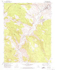
1970 · Caliente
USGS Topo · 1:24,000
1970 · Chokecherry Mtn.
USGS Topo · 1:24,000
1970 · Chief Mountain
USGS Topo · 1:24,000