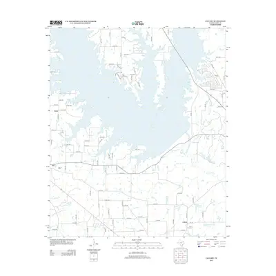
2012 Map of Calvary
USGS Topo · Published 2012About this map
The sprawling shoreline of Case Lake dominates this Wood County landscape, where the inundated valleys of Lake Fork Cr and its tributaries have transformed the local geography. Significant industrial and recreational footprints are evident, from the Alba Oil Field near the settlement of Alba to the developed greens of The Links at Land's End extending into the water. Historical roots are anchored by the Searcy Cem and smaller communities like Calvary and Salem, which sit amidst a network of county roads and creek beds. The drainage system remains prominent through features such as Alum Br, Clark Br, and Lankford Cr, while small aviation activity is noted at the Fly 1 On Airport in the south.
Find a feature on this map
89 named features on this map. Tap any name to fly to it.
Don’t see what you’re looking for? This feature index may not catch every label — zoom into the map to look around manually.
Map Details
Editions of this 2012 Calvary Map
This is the sole edition of this map. No revisions or reprints were ever made.
Other maps of this area

1956 · Tyler
USGS Topo · 1:250,000
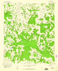
1958 · Arbala
USGS Topo · 1:24,000
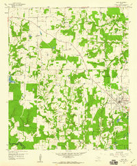
1958 · Alba
USGS Topo · 1:24,000
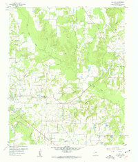
1959 · Calvary
USGS Topo · 1:24,000
1959 · Golden
USGS Topo · 1:24,000
1959 · Grand Saline
USGS Topo · 1:24,000
1959 · Yantis
USGS Topo · 1:24,000
1959 · Grand Saline
USGS Topo · 1:62,500
1959 · Alba
USGS Topo · 1:62,500
1960 · Mineola
USGS Topo · 1:24,000