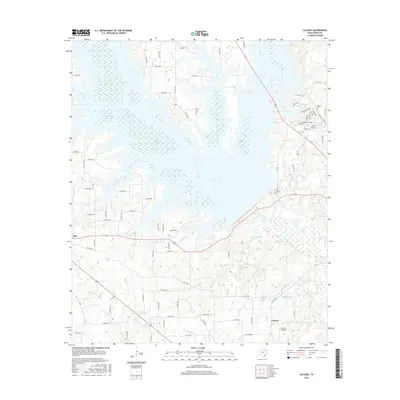
2016 Map of Calvary
USGS Topo · Published 2016About this map
Lake Fork Creek dominates the landscape of this Wood County region, where the sprawling waters of Case Lake create a complex network of points and inlets. The area around Alba and the community of Calvary is defined by this aquatic geography, featuring numerous named branches and smaller bodies of water like Taylor Lake and Champion Lake. This 2016 survey shows a rural landscape transitioning into lakeside residential developments, particularly evident in the street names of the Holiday Village area and around Indian Gap.
Find a feature on this map
85 named features on this map. Tap any name to fly to it.
Don’t see what you’re looking for? This feature index may not catch every label — zoom into the map to look around manually.
Map Details
Editions of this 2016 Calvary Map
This is the sole edition of this map. No revisions or reprints were ever made.
Other maps of this area

1956 · Tyler
USGS Topo · 1:250,000
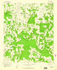
1958 · Arbala
USGS Topo · 1:24,000
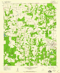
1958 · Alba
USGS Topo · 1:24,000
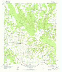
1959 · Calvary
USGS Topo · 1:24,000
1959 · Golden
USGS Topo · 1:24,000
1959 · Grand Saline
USGS Topo · 1:24,000
1959 · Yantis
USGS Topo · 1:24,000
1959 · Grand Saline
USGS Topo · 1:62,500
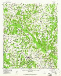
1959 · Alba
USGS Topo · 1:62,500
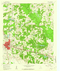
1960 · Mineola
USGS Topo · 1:24,000