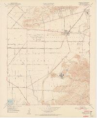
1950 Map of Camarillo
USGS Topo · Published 1956About this map
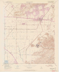
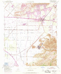
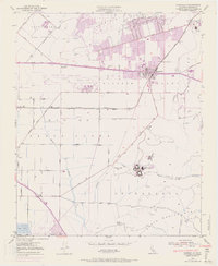
Pleasant Valley serves as the central focus of this mid-century topographic study, showing a landscape defined by its agricultural roots and expanding infrastructure. The Southern Pacific railroad runs through the heart of Camarillo, while Ventura Blvd parallels the tracks, highlighting the transportation corridors that shaped the region. To the south and east, the foothills of the Santa Monica Mts rise above the valley floor, marked by significant institutional landmarks like the Camarillo State Hospital and St Johns Seminary.
Find a feature on this map
53 named features on this map. Tap any name to fly to it.
Don’t see what you’re looking for? This feature index may not catch every label — zoom into the map to look around manually.
Map Details
Editions of this 1950 Camarillo Map
7 editions found
Other maps of this area

1900 · Triunfo Pass
USGS Topo · 1:62,500

1900 · Piru
USGS Topo · 1:62,500

1903 · Santa Paula
USGS Topo · 1:62,500

1903 · Camulos
USGS Topo · 1:125,000

1904 · Hueneme
USGS Topo · 1:62,500

1921 · Piru
USGS Topo · 1:62,500

1921 · Triunfo Pass
USGS Topo · 1:62,500

1941 · Piru
USGS Topo · 1:62,500

1942 · Santa Paula
USGS Topo · 1:62,500

1942 · Hueneme
USGS Topo · 1:62,500