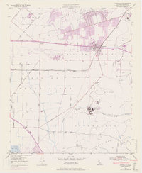
1950 Map of Camarillo
USGS Topo · Published 1968About this map
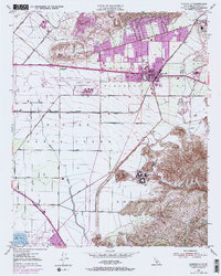
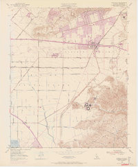
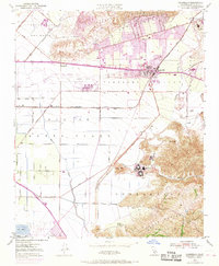
Camarillo serves as the central hub of this mid-century Ventura County landscape, where the expansion of the Ventura Freeway begins to reshape the traditional agricultural character of Pleasant Valley. This 1950 survey, updated with 1967 aerial data shown in purple, captures a pivotal moment of transition as urban growth encroaches upon the extensive citrus and field crop lands. To the south, the massive complex of the Camarillo State Hospital sits near the base of the Santa Monica Mts, while the Oxnard Air Force Base and Camarillo Airport dominate the flatlands west of the city. The map details a complex drainage network featuring Calleguas Creek and Revolon Slough, essential for the irrigation and management of the Rio de Santa Clara valley. From the St Johns Seminary in the north to the Pacific Missile Range Naval Res on the coast, the geography reflects a mix of religious, military, and institutional land use characteristic of the era.
Find a feature on this map
53 named features on this map. Tap any name to fly to it.
Don’t see what you’re looking for? This feature index may not catch every label — zoom into the map to look around manually.
Map Details
Editions of this 1950 Camarillo Map
7 editions found
Other maps of this area

1900 · Triunfo Pass
USGS Topo · 1:62,500

1900 · Piru
USGS Topo · 1:62,500

1903 · Santa Paula
USGS Topo · 1:62,500

1903 · Camulos
USGS Topo · 1:125,000

1904 · Hueneme
USGS Topo · 1:62,500

1921 · Piru
USGS Topo · 1:62,500

1921 · Triunfo Pass
USGS Topo · 1:62,500

1941 · Piru
USGS Topo · 1:62,500

1942 · Santa Paula
USGS Topo · 1:62,500

1942 · Hueneme
USGS Topo · 1:62,500