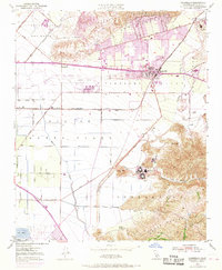
1950 Map of Camarillo
USGS Topo · Published 1968About this map
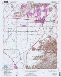
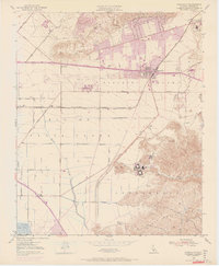
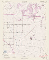
Camarillo State Hospital and the sprawling campus of St Johns Seminary anchor the southern landscape of this mid-century survey, where the Santa Monica Mountains descend into the fertile Pleasant Valley. The map documents a period of significant military and infrastructure development, featuring the Oxnard Air Force Base and the Pacific Missile Range Naval Res at its southern margin. Transportation networks are in transition as the Ventura Freeway and Southern Pacific railroad cut through the agricultural heartland, connecting the developing town of Camarillo with outlying settlements like Springville and Leesdale. The drainage patterns of Calleguas Creek and Revolon Slough define the low-lying plains, while the northern terrain rises into the Las Posas Hills. This 1950 data, updated in 1968, captures the shift from a ranching economy, represented by the Broome Ranch, toward the urban expansion and institutional presence that would define modern Ventura County.
Find a feature on this map
53 named features on this map. Tap any name to fly to it.
Don’t see what you’re looking for? This feature index may not catch every label — zoom into the map to look around manually.
Map Details
Editions of this 1950 Camarillo Map
7 editions found
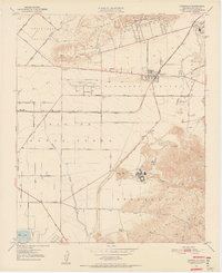
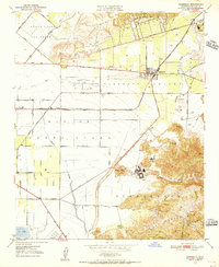
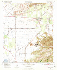
Other maps of this area

1900 · Triunfo Pass
USGS Topo · 1:62,500

1900 · Piru
USGS Topo · 1:62,500

1903 · Santa Paula
USGS Topo · 1:62,500

1903 · Camulos
USGS Topo · 1:125,000

1904 · Hueneme
USGS Topo · 1:62,500

1921 · Piru
USGS Topo · 1:62,500

1921 · Triunfo Pass
USGS Topo · 1:62,500

1941 · Piru
USGS Topo · 1:62,500

1942 · Santa Paula
USGS Topo · 1:62,500

1942 · Hueneme
USGS Topo · 1:62,500