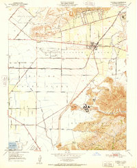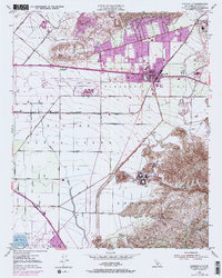
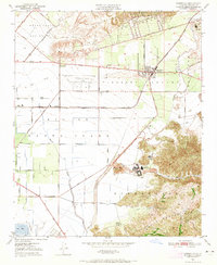
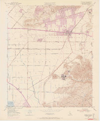
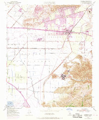
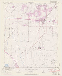
1950 Map of Camarillo
USGS Topo · Published 1968About this map
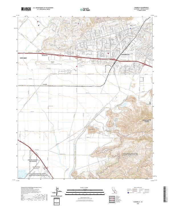
Pleasant Valley serves as the agricultural and aviation hub of this Ventura County landscape, where the town of Camarillo sits at the junction of the Southern Pacific railroad and the Ventura Freeway. The map documents a significant era of transition, showing the expanded footprints of Oxnard Air Force Base and the Camarillo Airport alongside long-standing ranching operations. To the south, the sprawling grounds of the Camarillo State Hospital sit near the base of the Monica Mtns, while the Pacific Missile Range Naval Res reaches the coastal edge at the Duck Ponds. Tracing the drainage of Calleguas Creek and Revolon Slough toward the Santa Clara River, one can see the grid of early farm roads like Etting Road and Cawelti Road that defined this coastal plain before late-century suburbanization.
Find a feature on this map
43 named features on this map. Tap any name to fly to it.
Don’t see what you’re looking for? This feature index may not catch every label — zoom into the map to look around manually.
Map Details
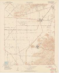
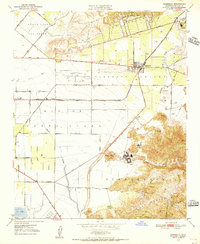
Editions of this 1950 Camarillo Map
7 editions found
Historical Maps of Oxnard Through Time
6 maps found