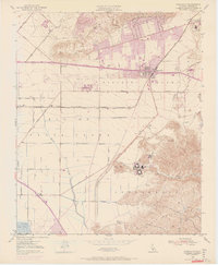
1950 Map of Camarillo
USGS Topo · Published 1968About this map
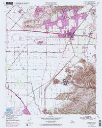
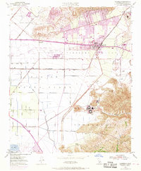
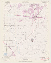
Pleasant Valley serves as the focal point for this mid-century look at the agricultural and military landscape of Ventura County. The settlement of Camarillo is shown during a period of significant growth, with purple updates highlighting the post-war expansion of urban areas near the St Johns Seminary and along the Southern Pacific railroad line. The map captures the scale of institutional and defense footprints in the region, from the sprawling grounds of the Camarillo State Hospital at the foot of the Santa Monica Mountains to the strategic positioning of the Oxnard Air Force Base.
Find a feature on this map
45 named features on this map. Tap any name to fly to it.
Don’t see what you’re looking for? This feature index may not catch every label — zoom into the map to look around manually.
Map Details
Editions of this 1950 Camarillo Map
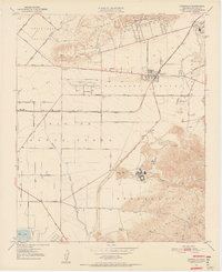
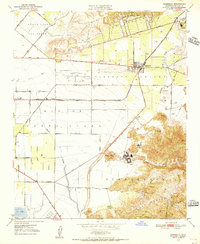
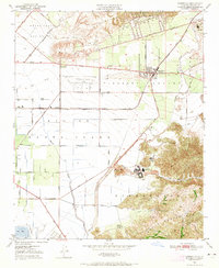
7 editions found
Other maps of this area

1900 · Triunfo Pass
USGS Topo · 1:62,500

1900 · Piru
USGS Topo · 1:62,500

1903 · Santa Paula
USGS Topo · 1:62,500

1903 · Camulos
USGS Topo · 1:125,000

1904 · Hueneme
USGS Topo · 1:62,500

1921 · Piru
USGS Topo · 1:62,500

1921 · Triunfo Pass
USGS Topo · 1:62,500

1941 · Piru
USGS Topo · 1:62,500

1942 · Santa Paula
USGS Topo · 1:62,500

1942 · Hueneme
USGS Topo · 1:62,500