Loading...
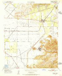
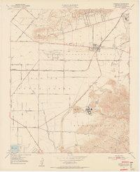
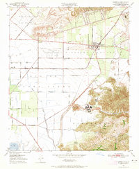
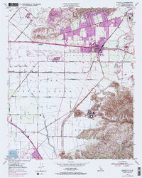
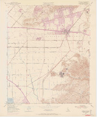
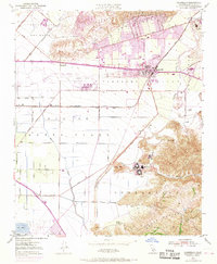
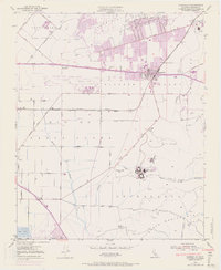
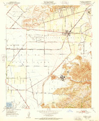
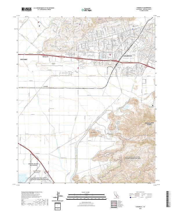
Loading map...1950 Map of Camarillo
USGS Topo · Published 1956About this map
Camarillo and its surrounding agricultural plains appear here just before mid-century suburbanization transformed the landscape. The town center is clustered along the Southern Pacific tracks and Ventura Blvd, serving as a hub for the vast Pleasant Valley and the Rio de Santa Clara. To the south, the sprawling grounds of the Camarillo State Hospital sit at the base of the Santa Monica Mts, a significant institutional landmark of the era.
Find a feature on this map
48 named features on this map. Tap any name to fly to it.
Don’t see what you’re looking for? This feature index may not catch every label — zoom into the map to look around manually.
Map Details
Date Portrayed1950
Date Published1956
PublisherU.S. Geological Survey
Map TypeTopographic
Scale1:24,000
Physical Dimensions22 x 26.8 inches
Editions of this 1950 Camarillo Map
7 editions found
Historical Maps of Oxnard Through Time
6 maps found
Featured Locations
Source Details
SourceU.S. Geological Survey
CopyrightPublic Domain