
1893 Map of Camas Prairie
USGS Topo · Published 1893About this map
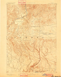
The Boise River and Snake River anchor this 1889 reconnaissance of Elmore, showing a landscape dominated by open plateau country and deep drainage systems. The map centers on the distinct flatlands of Little Camas Prairie, High Prairie, and the western portion of the expansive Camas Prairie. These areas represent critical early grazing and agricultural lands before the era of modern irrigation and storage reservoirs. The settlement at Pine Grove serves as the primary named point of habitation near the river bend.
Find a feature on this map
20 named features on this map. Tap any name to fly to it.
Don’t see what you’re looking for? This feature index may not catch every label — zoom into the map to look around manually.
Map Details
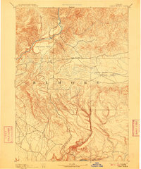
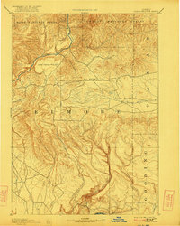
Editions of this 1893 Camas Prairie Map
4 editions found
Other maps of this area

1892 · Mountain Home
USGS Topo · 1:125,000

1892 · Camas Prairie
USGS Topo · 1:125,000

1893 · Mountain Home
USGS Topo · 1:125,000

1894 · Idaho Basin
USGS Topo · 1:125,000

1894 · Rocky Bar
USGS Topo · 1:125,000

1900 · Sawtooth
USGS Topo · 1:125,000

1947 · Indian Cove
USGS Topo · 1:24,000

1947 · Hammett
USGS Topo · 1:24,000

1947 · Glenns Ferry
USGS Topo · 1:24,000

1947 · Pasadena Valley
USGS Topo · 1:24,000