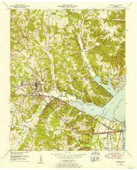
1950 Map of Camden
USGS Topo · Published 1953About this map
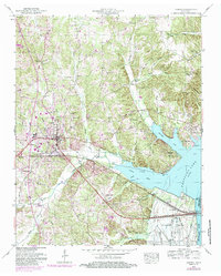
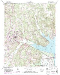
Camden serves as the focal point of this 1950s survey, situated just west of the massive Kentucky Lake reservoir. The town's grid and central courthouse square are clearly visible, supported by the Nashville Chattanooga and St Louis railway which cuts through the southern heart of the settlement. The landscape to the east is dominated by the rising waters of the Tennessee River valley, where the creation of the lake has reshaped the shoreline near Eva and the Eva Cabin Area.
Find a feature on this map
78 named features on this map. Tap any name to fly to it.
Don’t see what you’re looking for? This feature index may not catch every label — zoom into the map to look around manually.
Map Details
Editions of this 1950 Camden Map
6 editions found
Other maps of this area

1936 · Camden
USGS Topo · 1:24,000

1936 · Seventeen Creek
USGS Topo · 1:24,000

1936 · Big Sandy
USGS Topo · 1:24,000

1936 · Johnsonville
USGS Topo · 1:24,000

1936 · Bruceton
USGS Topo · 1:24,000

1936 · Harmon Creek
USGS Topo · 1:24,000

1936 · Rockport
USGS Topo · 1:24,000

1936 · Manleyville
USGS Topo · 1:24,000

1936 · Hustburg
USGS Topo · 1:24,000

1940 · Manleyville
USGS Topo · 1:24,000