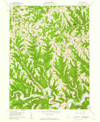
1960 Map of Cameron
USGS Topo · Published 1962About this map
Sunfish Creek carves a deep valley across the southern portion of this landscape, anchoring the settlement of Cameron where local roads converge. The terrain is defined by a series of prominent finger ridges, including Headley Ridge, Mellott Ridge, and Pumpkin Ridge, which dictate the placement of early farmsteads and rural infrastructure. Small family-named cemeteries such as Pugh Cem and Rutter Cem are tucked away on these heights, serving as vital markers for genealogical research in this part of Adams and Salem townships.
Find a feature on this map
41 named features on this map. Tap any name to fly to it.
Don’t see what you’re looking for? This feature index may not catch every label — zoom into the map to look around manually.
Map Details
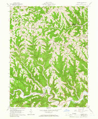
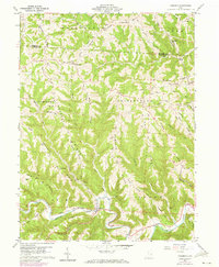
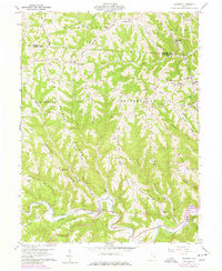
Editions of this 1960 Cameron Map
4 editions found
Other maps of this area

1905 · Clarington
USGS Topo · 1:62,500

1905 · New Matamoras
USGS Topo · 1:62,500

1905 · Woodsfield
USGS Topo · 1:62,500

1906 · New Martinsville
USGS Topo · 1:62,500

1924 · New Martinsville
USGS Topo · 1:62,500

1924 · New Matamoras
USGS Topo · 1:62,500

1926 · New Martinsville
USGS Topo · 1:62,500

1926 · New Matamoras
USGS Topo · 1:62,500

1935 · Clarington
USGS Topo · 1:62,500

1940 · Clarington
USGS Topo · 1:62,500