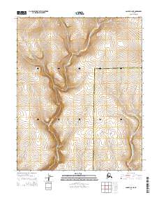
2014 Map of Candle D-2 NE
USGS Topo · Published 2014About this map
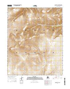
The N Fork Buckland River and Middle Fork Buckland River dominate this remote landscape at the boundary of the Northwest Arctic Borough Yukon-Koyukuk Census Area. These waterways carve through the terrain of Northwest Arctic, Alaska, within the townships of T7N R5W, T7N R4W, T6N R5W, and T6N R4W. The geography is defined by high elevation contours and the absence of established road infrastructure or settlements, reflecting a wilderness state in the early 21st century. The map serves as a primary record of the hydrological network where these two forks of the Buckland system converge in proximity to the borough line, offering essential data for those studying the drainage patterns of the Alaskan interior.
Find a feature on this map
7 named features on this map. Tap any name to fly to it.
Don’t see what you’re looking for? This feature index may not catch every label — zoom into the map to look around manually.
Map Details
Editions of this 2014 Candle D-2 NE Map
This is the sole edition of this map. No revisions or reprints were ever made.
Other maps of this area

1951 · Candle
USGS Topo · 1:250,000

1951 · Selawik
USGS Topo · 1:250,000
1954 · Candle D-1
USGS Topo · 1:63,360

1954 · Candle D-2
USGS Topo · 1:63,360

1955 · Candle
USGS Topo · 1:250,000

1957 · Selawik
USGS Topo · 1:250,000

1964 · Candle
USGS Topo · 1:250,000
1985 · Selawik A-1
USGS Topo · 1:63,360
1985 · Selawik A-2
USGS Topo · 1:63,360
2014 · Selawik A-2 SE
USGS Topo · 1:25,000