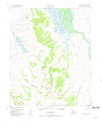
1951 Map of Candle D-5
USGS Topo · Published 1960About this map
The Buckland River dominates the northeastern landscape of this mid-century survey, winding through a complex system of marshes and braided channels near the settlement of Buckland. The terrain rises sharply to the west and south, defined by the prominent heights of Clem Mountain and Sugar Top. This interior region is marked by a network of drainage basins including Fairhaven Creek and Duck Creek, which flow through the high country toward the coast.
Find a feature on this map
15 named features on this map. Tap any name to fly to it.
Don’t see what you’re looking for? This feature index may not catch every label — zoom into the map to look around manually.
Map Details
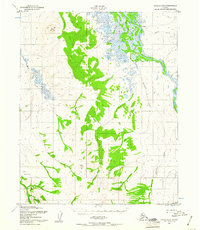
Editions of this 1951 Candle D-5 Map
3 editions found
Other maps of this area

1950 · Candle C-5
USGS Topo · 1:63,360

1950 · Candle C-6
USGS Topo · 1:63,360

1951 · Candle
USGS Topo · 1:250,000

1951 · Selawik
USGS Topo · 1:250,000

1951 · Candle D-5
USGS Topo · 1:63,360

1951 · Selawik A-5
USGS Topo · 1:63,360

1951 · Candle D-6
USGS Topo · 1:63,360

1951 · Selawik A-6
USGS Topo · 1:63,360

1955 · Candle
USGS Topo · 1:250,000

1955 · Selawik A-4
USGS Topo · 1:63,360