
1919 Map of Canutillo
USGS Topo · Published 1919About this map
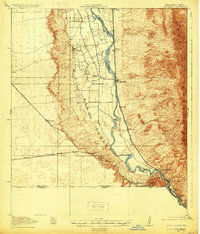
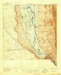
The Rio Grande meanders through a complex international corridor in this late-1910s survey, where the borders of Texas, New Mexico, and Mexico converge. The landscape is defined by the stark transition from the high elevations of the Franklin Mountains and Santa Teresa plateau down into the irrigated valley. Significant industrial activity is clustered at the southern pass, anchored by the Smelter and the State School of Mines near the international line.
Find a feature on this map
32 named features on this map. Tap any name to fly to it.
Don’t see what you’re looking for? This feature index may not catch every label — zoom into the map to look around manually.
Map Details
Editions of this 1919 Canutillo Map
3 editions found
Other maps of this area

1891 · Las Cruces
USGS Topo · 1:125,000

1893 · Las Cruces
USGS Topo · 1:125,000

1896 · El Paso
USGS Topo · 1:125,000

1908 · El Paso
USGS Topo · 1:125,000

1917 · Canutillo
USGS Topo · 1:62,500

1917 · Noria
USGS Topo · 1:62,500

1918 · Noria
USGS Topo · 1:62,500

1939 · Ysleta
USGS Topo · 1:62,500

1940 · Newman
USGS Topo · 1:62,500

1941 · El Paso
USGS Topo · 1:31,680