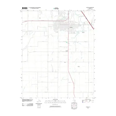
2010 Map of Canyon
USGS Topo · Published 2010About this map
The High Plains city of Canyon sits at the convergence of several major watercourses, including Tierra Blanca Creek and Palo Duro Creek. This 2010 survey illustrates the town's expansion toward the north and east, bounded by the McSpadden Lake Dam which creates McSpadden Lake on the eastern edge of the community. The landscape is a mix of dense residential blocks and surrounding agricultural land, marked by a systematic grid of county roads such as W Cemetery Rd and Buffalo Lake Rd.
Find a feature on this map
42 named features on this map. Tap any name to fly to it.
Don’t see what you’re looking for? This feature index may not catch every label — zoom into the map to look around manually.
Map Details
Editions of this 2010 Canyon Map
This is the sole edition of this map. No revisions or reprints were ever made.
Other maps of this area

1954 · Tucumcari
USGS Topo · 1:250,000

1954 · Amarillo
USGS Topo · 1:250,000

1954 · Plainview
USGS Topo · 1:250,000

1954 · Clovis
USGS Topo · 1:250,000

1958 · Clovis
USGS Topo · 1:250,000

1958 · Amarillo
USGS Topo · 1:250,000

1958 · Tucumcari
USGS Topo · 1:250,000

1958 · Plainview
USGS Topo · 1:250,000

1960 · Canyon
USGS Topo · 1:62,500

1960 · The Palisades
USGS Topo · 1:24,000