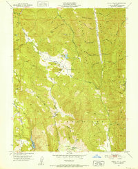
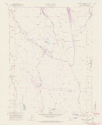
1951 Map of Capell Valley
USGS Topo · Published 1952About this map
Capell Valley and its surrounding ridgelines in Napa County are dominated by a series of steep canyons and small agricultural pockets as they appeared in the early 1950s. The settlement at Moskowite serves as a central point, situated near the Moskowite Reservoir and the Capell Sch. The map reveals a landscape defined by names that suggest early ranching and mining activity, such as the Munson Ranch and the Asbestos Mine located north of the valley floor. To the west, the watershed for Milliken Creek leads into the Milliken Reservoir, while the southern reaches transition into the distinct geography of Wooden Valley. This era shows a network of rural school sites, including the Atlas Peak Sch and the Blue Mtn Sch (Site), highlighting the distributed nature of this mountain community before more modern consolidation.
Find a feature on this map
53 named features on this map. Tap any name to fly to it.
Don’t see what you’re looking for? This feature index may not catch every label — zoom into the map to look around manually.
Map Details
Editions of this 1951 Capell Valley Map
5 editions found
Other maps of this area

1902 · Napa
USGS Topo · 1:125,000

1921 · Mt. Vaca
USGS Topo · 1:62,500

1924 · Capay
USGS Topo · 1:62,500

1942 · Sonoma
USGS Topo · 1:62,500

1942 · Mt. Vaca
USGS Topo · 1:62,500

1942 · St. Helena
USGS Topo · 1:62,500

1943 · Capay
USGS Topo · 1:62,500

1945 · Capay
USGS Topo · 1:62,500

1945 · St. Helena
USGS Topo · 1:62,500

1947 · Santa Rosa
USGS Topo · 1:250,000