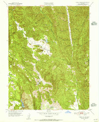
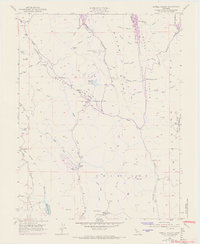
1951 Map of Capell Valley
USGS Topo · Published 1956About this map
Capell Valley and the surrounding drainages define this portion of the Vaca Mountains in the early 1950s. The landscape is a network of ridges and canyons, where small rural outposts like Munson Ranch and localized landmarks such as Raney Rock and Buzzard Rock punctuate the terrain. Water management is central to the area's development, evidenced by Moskowite Reservoir and Milliken Reservoir, which serve the higher elevations. This map preserves the locations of early educational centers, including the Capell Sch and Wooden Valley School, as well as the former location of the Blue Mtn Sch (Site). Industrial activity is represented by an Asbestos Mine located near Burrell Canyon, highlighting the specific mineral extractions of the era. The proximity of Atlas and the Foss Valley suggests a pocket of early settlement and ranching activity nestled between Wragg Ridge and the Blue Ridge.
Find a feature on this map
44 named features on this map. Tap any name to fly to it.
Don’t see what you’re looking for? This feature index may not catch every label — zoom into the map to look around manually.
Map Details
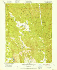
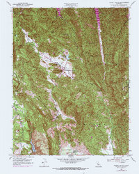
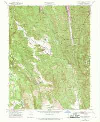
Editions of this 1951 Capell Valley Map
5 editions found
Other maps of this area

1902 · Napa
USGS Topo · 1:125,000

1921 · Mt. Vaca
USGS Topo · 1:62,500

1924 · Capay
USGS Topo · 1:62,500

1942 · Sonoma
USGS Topo · 1:62,500

1942 · Mt. Vaca
USGS Topo · 1:62,500

1942 · St. Helena
USGS Topo · 1:62,500

1943 · Capay
USGS Topo · 1:62,500

1945 · Capay
USGS Topo · 1:62,500

1945 · St. Helena
USGS Topo · 1:62,500

1947 · Santa Rosa
USGS Topo · 1:250,000