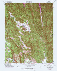
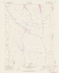
1951 Map of Capell Valley
USGS Topo · Published 1969About this map
Capell Valley and the surrounding heights of the Vaca Mountains define this mid-century view of Napa’s interior highlands. The settlement at Moskowite Corner serves as a local hub near the Moskowite Reservoir, where State Hwy 128 and State Hwy 121 converge. The landscape is characterized by a series of narrow valleys and ridges, including Foss Valley and Wragg Ridge, which channel water into Capell Creek and Milliken Creek. Local education and community life are marked by the presence of Capell Sch, Atlas Peak Sch, and the Wooden Valley School. Physical geography remains the dominant feature, from the high point at Atlas Peak to the specialized resource extraction at the Asbestos Mine. Southward, the map shows the upper reaches of Milliken Reservoir and the rural agricultural setting of Munson Ranch and Wooden Valley.
Find a feature on this map
42 named features on this map. Tap any name to fly to it.
Don’t see what you’re looking for? This feature index may not catch every label — zoom into the map to look around manually.
Map Details
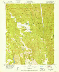
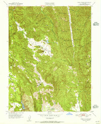
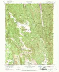
Editions of this 1951 Capell Valley Map
5 editions found
Other maps of this area

1902 · Napa
USGS Topo · 1:125,000

1921 · Mt. Vaca
USGS Topo · 1:62,500

1924 · Capay
USGS Topo · 1:62,500

1942 · Sonoma
USGS Topo · 1:62,500

1942 · Mt. Vaca
USGS Topo · 1:62,500

1942 · St. Helena
USGS Topo · 1:62,500

1943 · Capay
USGS Topo · 1:62,500

1945 · Capay
USGS Topo · 1:62,500

1945 · St. Helena
USGS Topo · 1:62,500

1947 · Santa Rosa
USGS Topo · 1:250,000