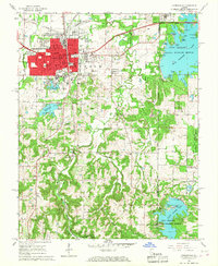
1966 Map of Carbondale
USGS Topo · Published 1967About this map
Southern Illinois University and its Campus Lake dominate the southern edge of the city during this mid-1960s survey. The urban core of Carbondale is dense with civic and educational infrastructure, including Lincoln Jr High Sch, Thomas Sch, and the Holden Hospital. Transportation is anchored by the Illinois Central Railroad, which runs parallel to Illinois 51, while new highway construction is visible to the east near the Jackson Co and Williamson Co line.
Find a feature on this map
51 named features on this map. Tap any name to fly to it.
Don’t see what you’re looking for? This feature index may not catch every label — zoom into the map to look around manually.
Map Details
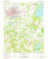
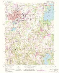
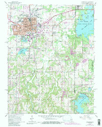
Editions of this 1966 Carbondale Map
4 editions found
Other maps of this area

1910 · Herrin
USGS Topo · 1:62,500

1910 · Murphysboro
USGS Topo · 1:62,500

1922 · Carbondale
USGS Topo · 1:62,500

1924 · Alto Pass
USGS Topo · 1:62,500

1936 · Herrin
USGS Topo · 1:62,500

1938 · Murphysboro
USGS Topo · 1:62,500

1941 · Carbondale
USGS Topo · 1:62,500

1947 · Alto Pass
USGS Topo · 1:62,500
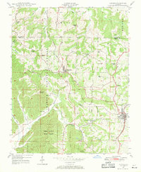
1947 · Cobden
USGS Topo · 1:24,000
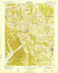
1948 · Cobden
USGS Topo · 1:24,000